WorldmapPDF
Map of Philippines with cities and roads
View detailed maps of Philippines in HD and in different formats such as JPG, PDF, PNG. Maps in PNG format are often of better quality.


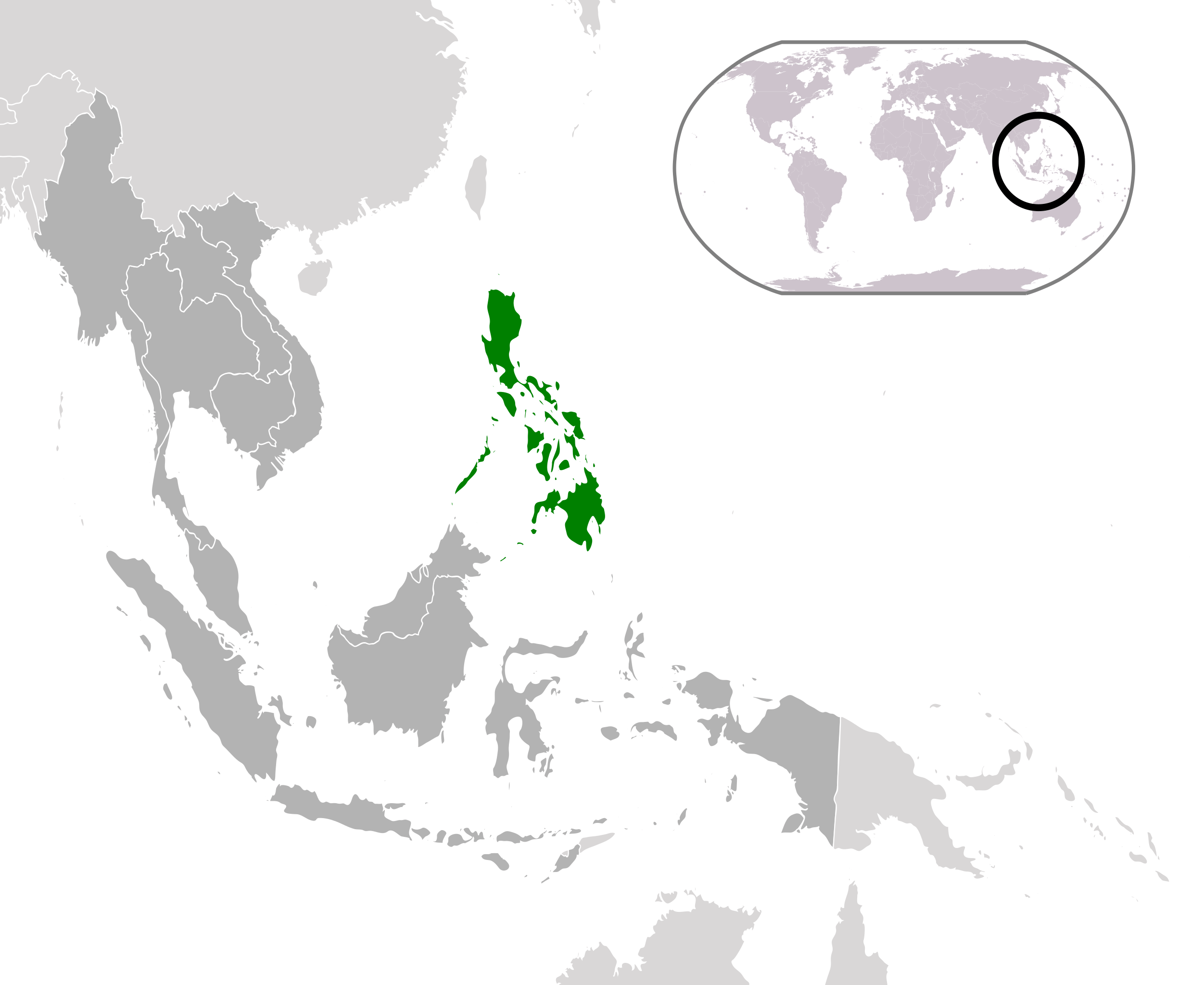
Philippines location map

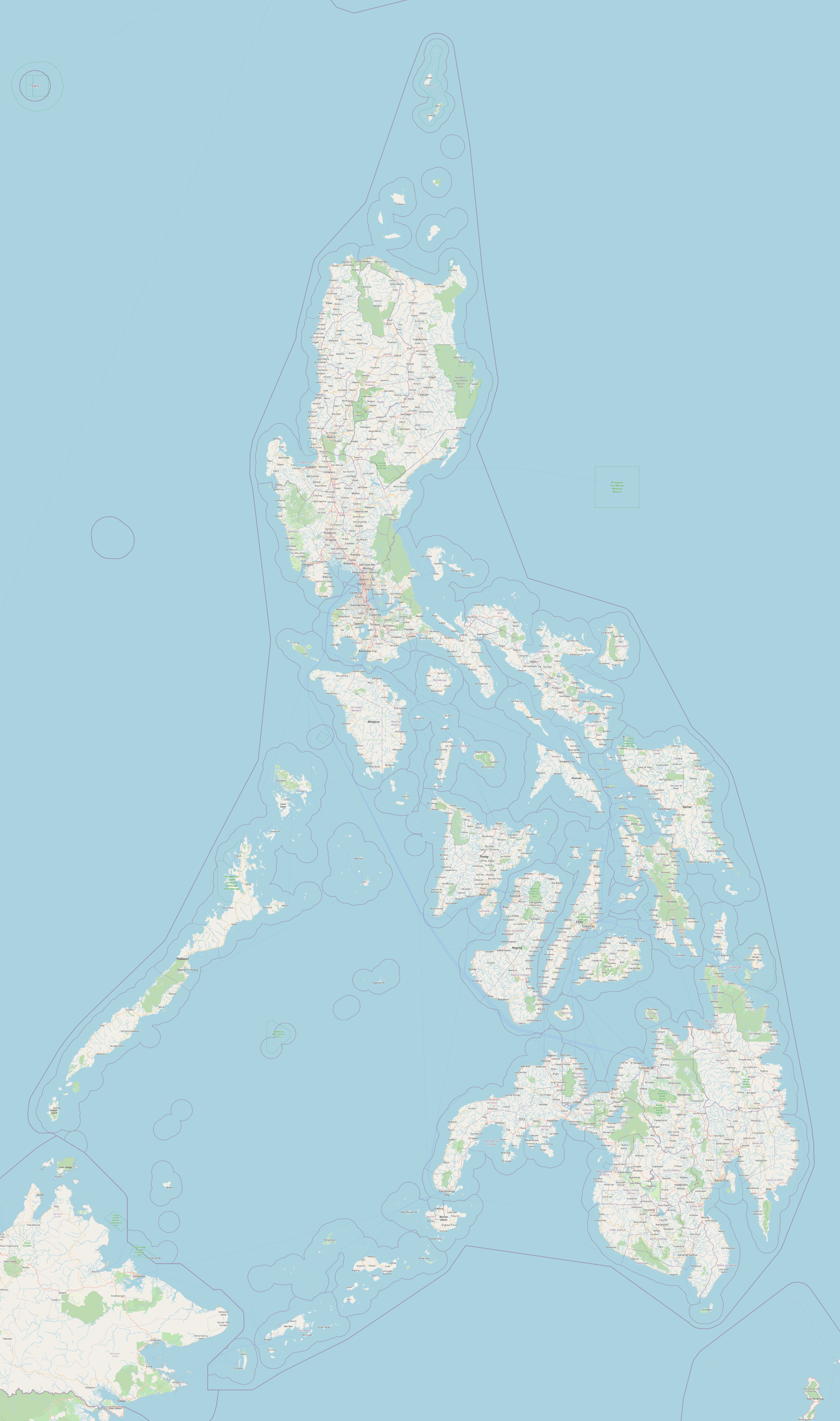
Detailed map of the Philippines

Download: JPG (473 x 800 pixels) | JPG (2924 x 4945 pixels) | PNG (2924 x 4945 pixels) | PDF
Description: Detailed map of the Philippines with major cities, towns, main roads, secondary roads and island names.
License: Open data (ODbl)
Author: OpenStreetMap and contributors
Source file: OpenStreetMap
Description: Detailed map of the Philippines with major cities, towns, main roads, secondary roads and island names.
License: Open data (ODbl)
Author: OpenStreetMap and contributors
Source file: OpenStreetMap
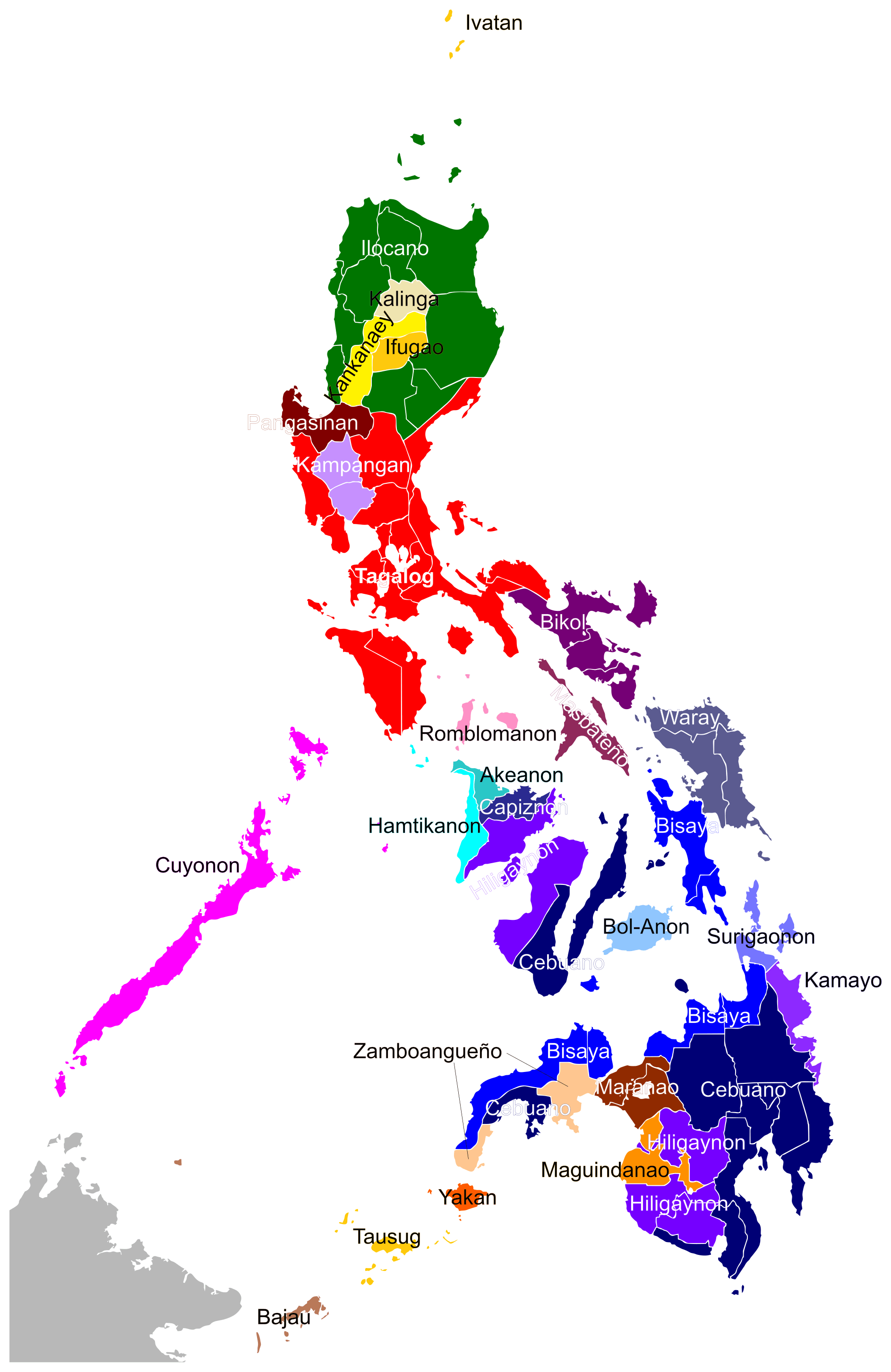
Map of the Philippines with ethnic groups
