WorldmapPDF
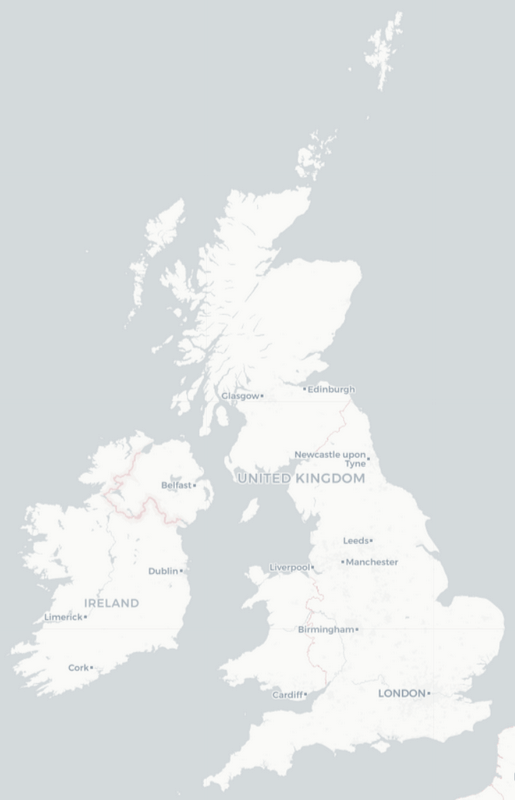
Map of the United Kingdom with cities and population
View detailed maps of the UK in HD and in different formats such as JPG, PDF, PNG. Maps in PNG format are often of better quality.


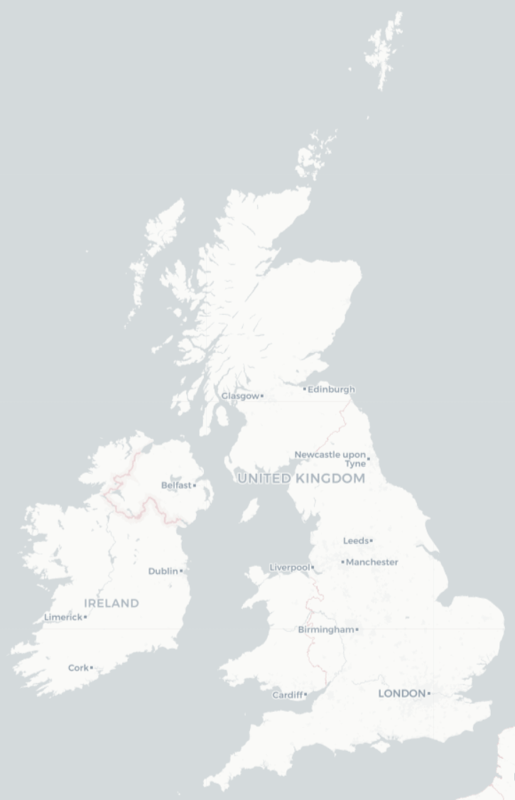
Simple map of the United Kingdom

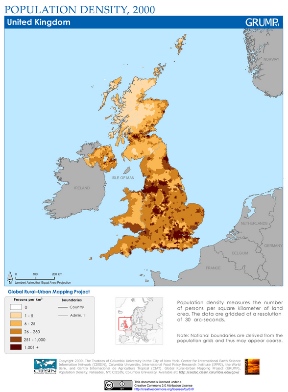
Population density map of the United Kingdom

Download: JPG (588 x 800 pixels) | JPG (2324 x 3161 pixels) | PNG (588 x 800 pixels) | PNG (2324 x 3161 pixels)
Description: Population density map of the United Kingdom in 2000 with the number of inhabitants per square kilometer.
License: CC BY 2.0
Author: SEDACMaps
Source file: Wikimedia Commons (view)
Description: Population density map of the United Kingdom in 2000 with the number of inhabitants per square kilometer.
License: CC BY 2.0
Author: SEDACMaps
Source file: Wikimedia Commons (view)
.jpg)
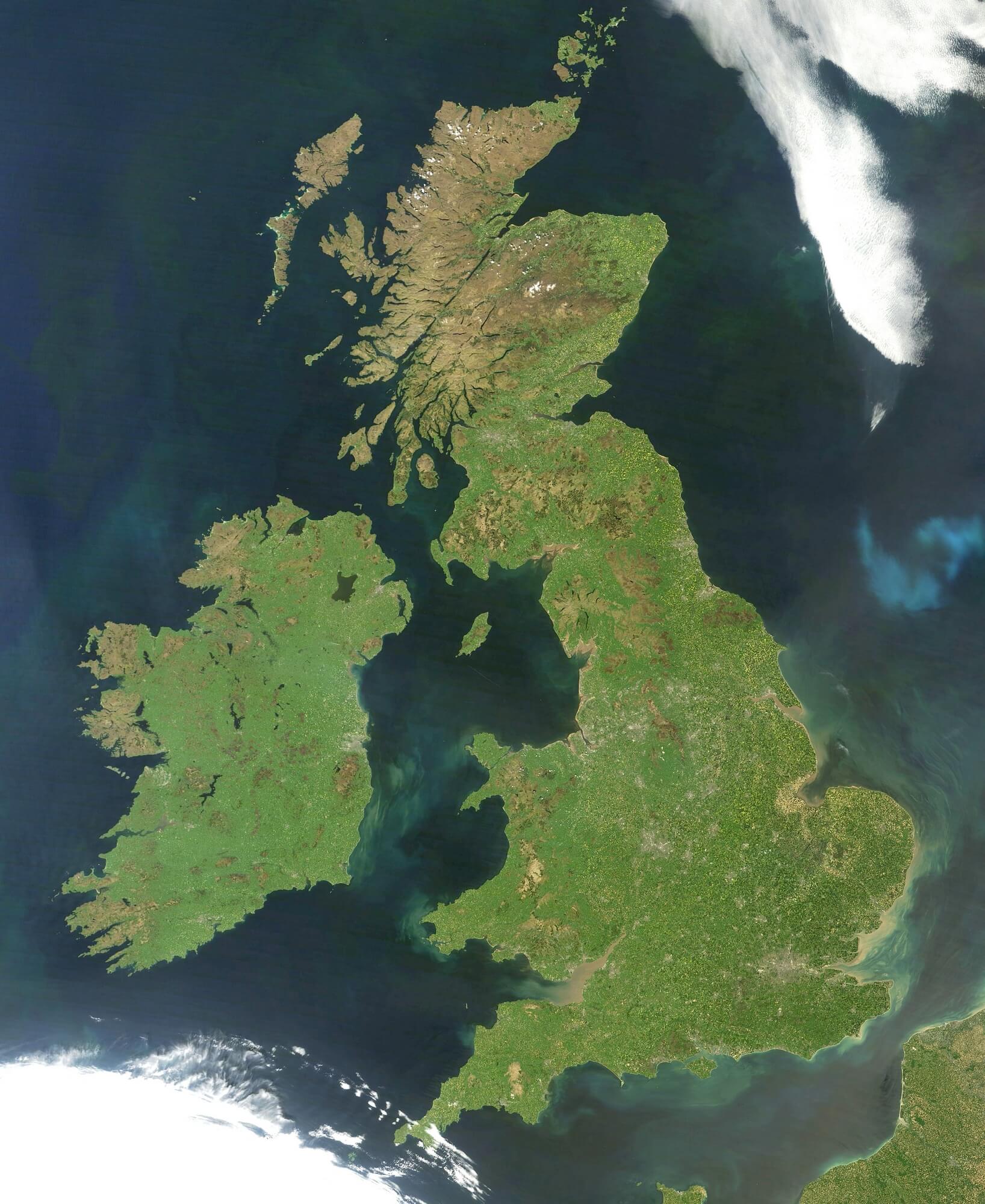
Satellite photo of the United Kingdom

Download: JPG (655 x 800 pixels) | JPG (1636 x 2000 pixels) | JPG (3600 x 4000 pixels)
Description: Satellite image of the United Kingdom taken with NASA's MODIS imaging system.
License: Public domain
Author: Jeff Schmaltz, MODIS Land Rapid Response Team, NASA GSFC
Source file: Wikimedia Commons (view)
Description: Satellite image of the United Kingdom taken with NASA's MODIS imaging system.
License: Public domain
Author: Jeff Schmaltz, MODIS Land Rapid Response Team, NASA GSFC
Source file: Wikimedia Commons (view)