WorldmapPDF
Map of Pakistan with cities and districts
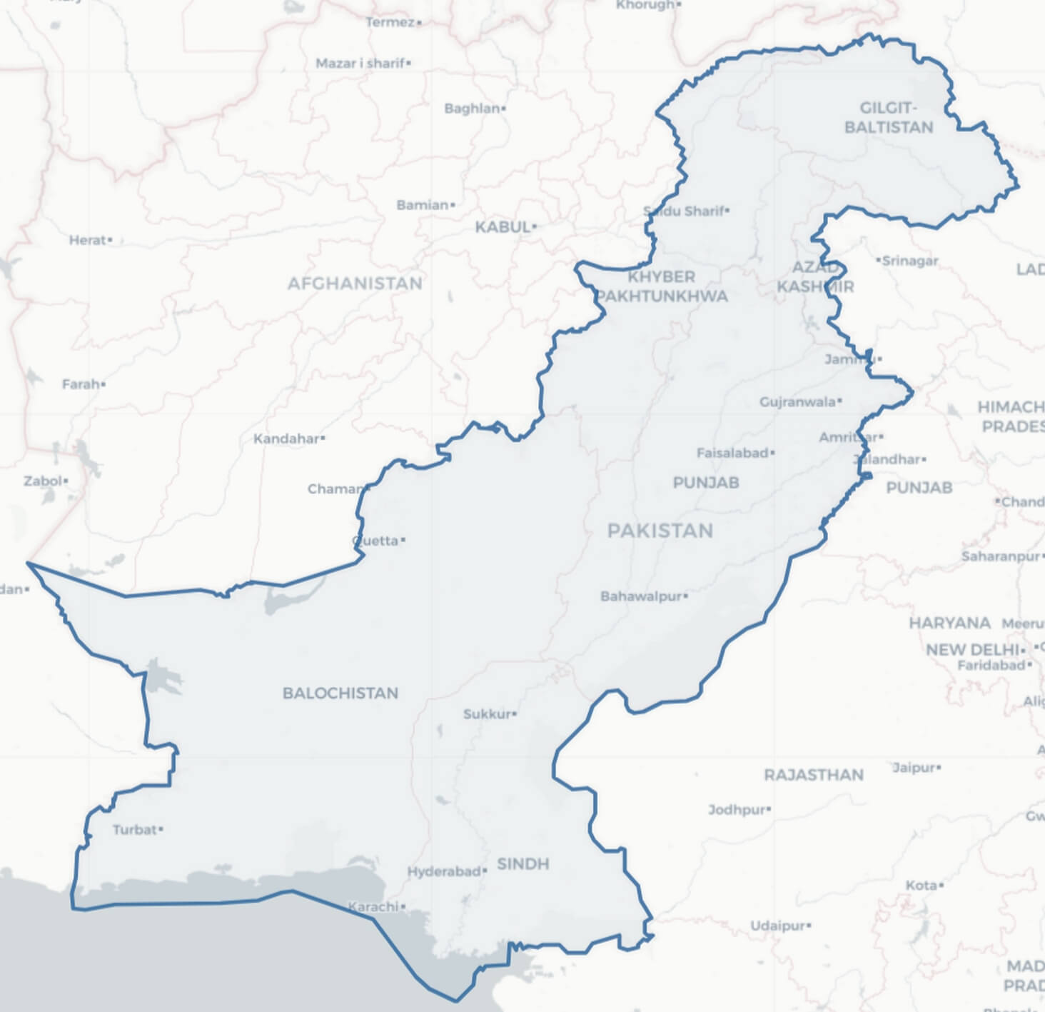
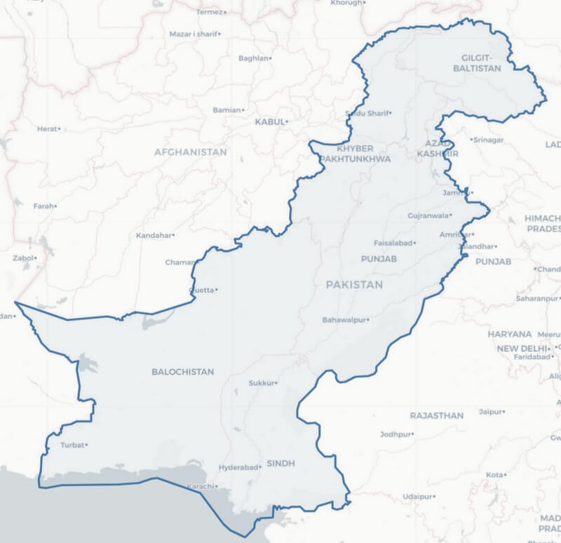
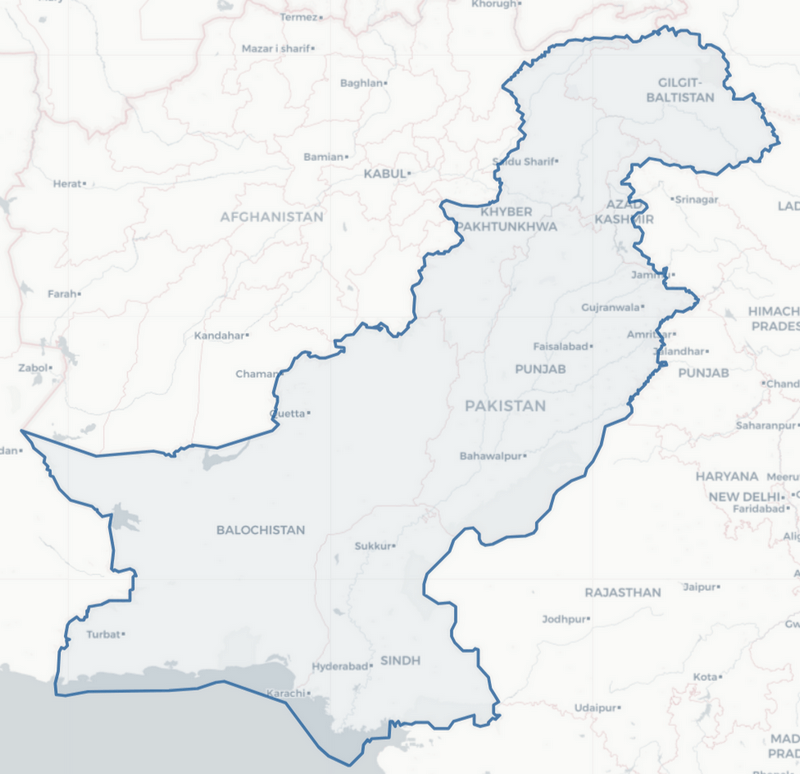
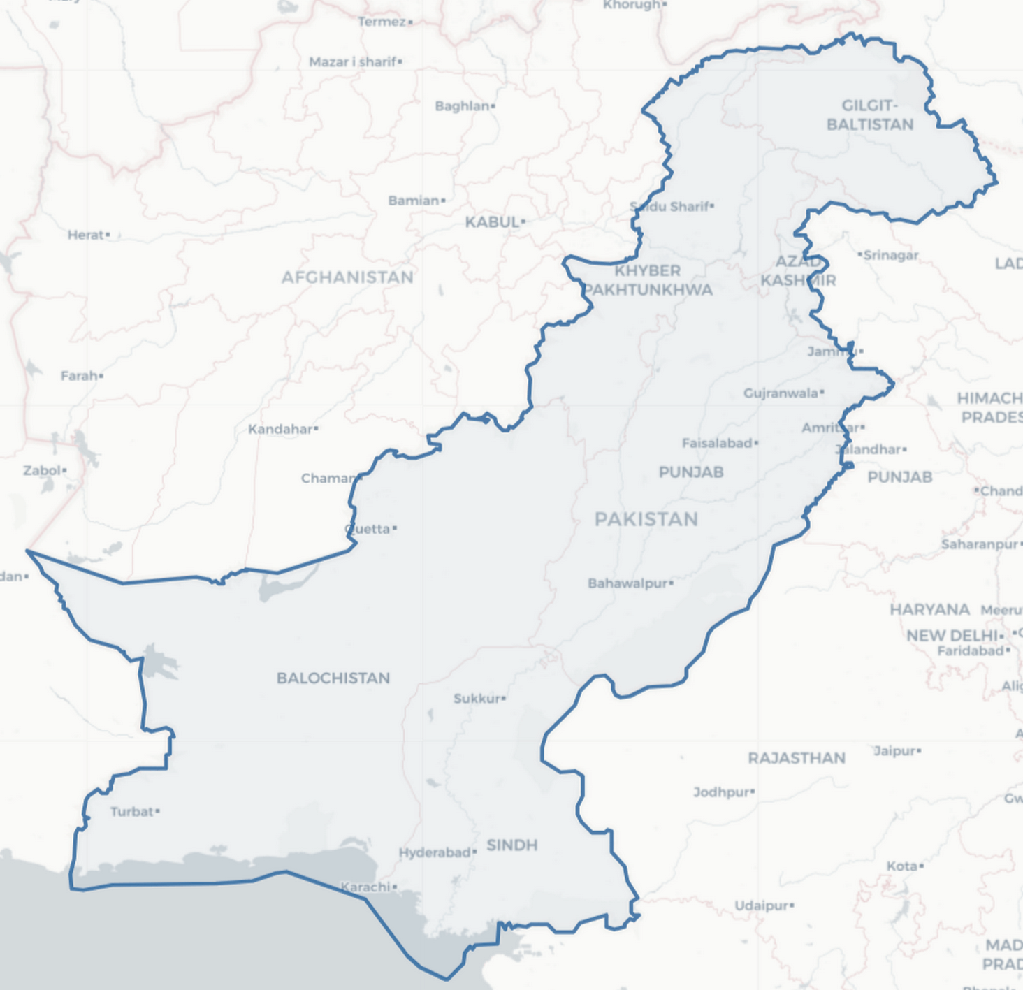
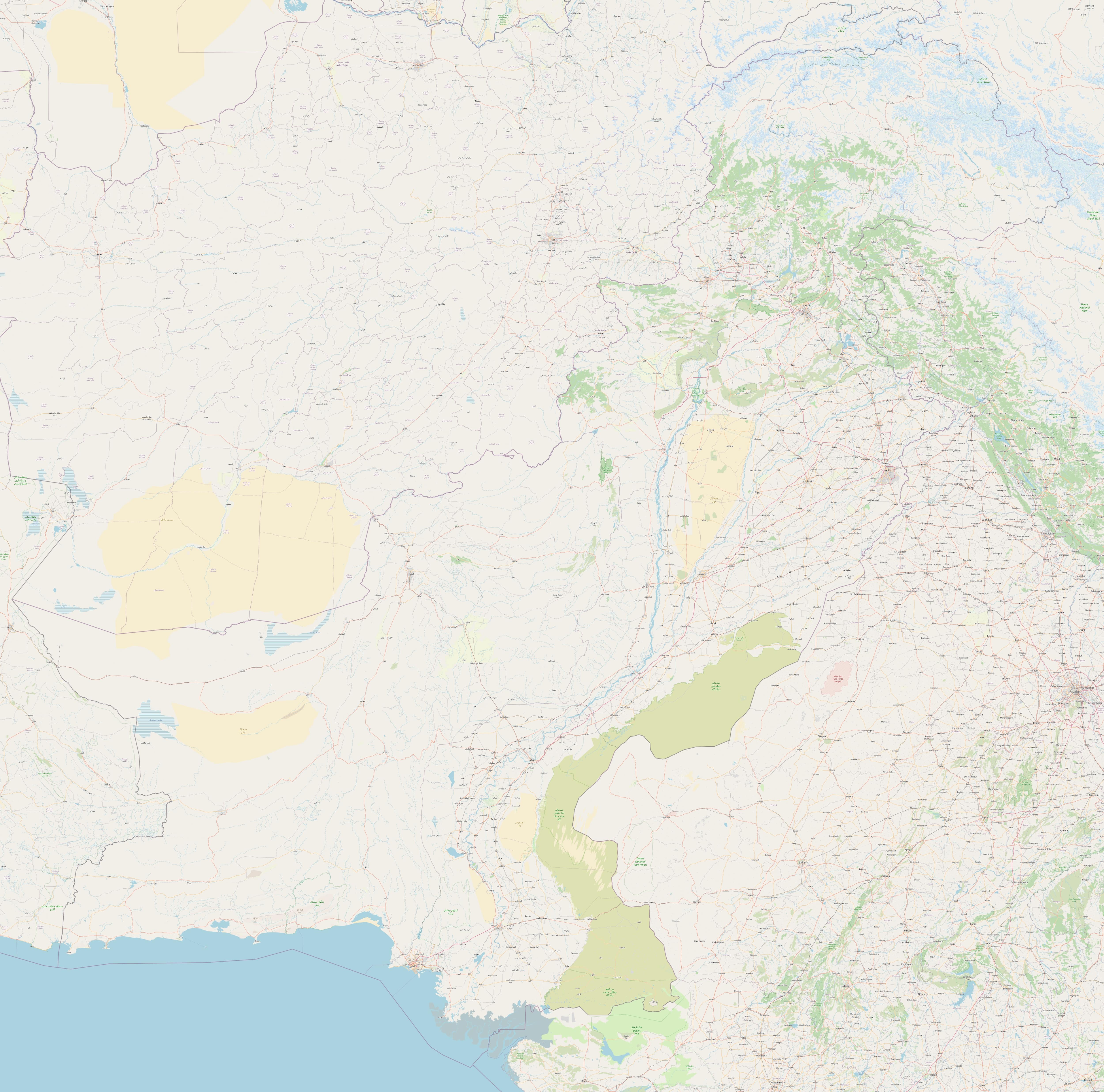
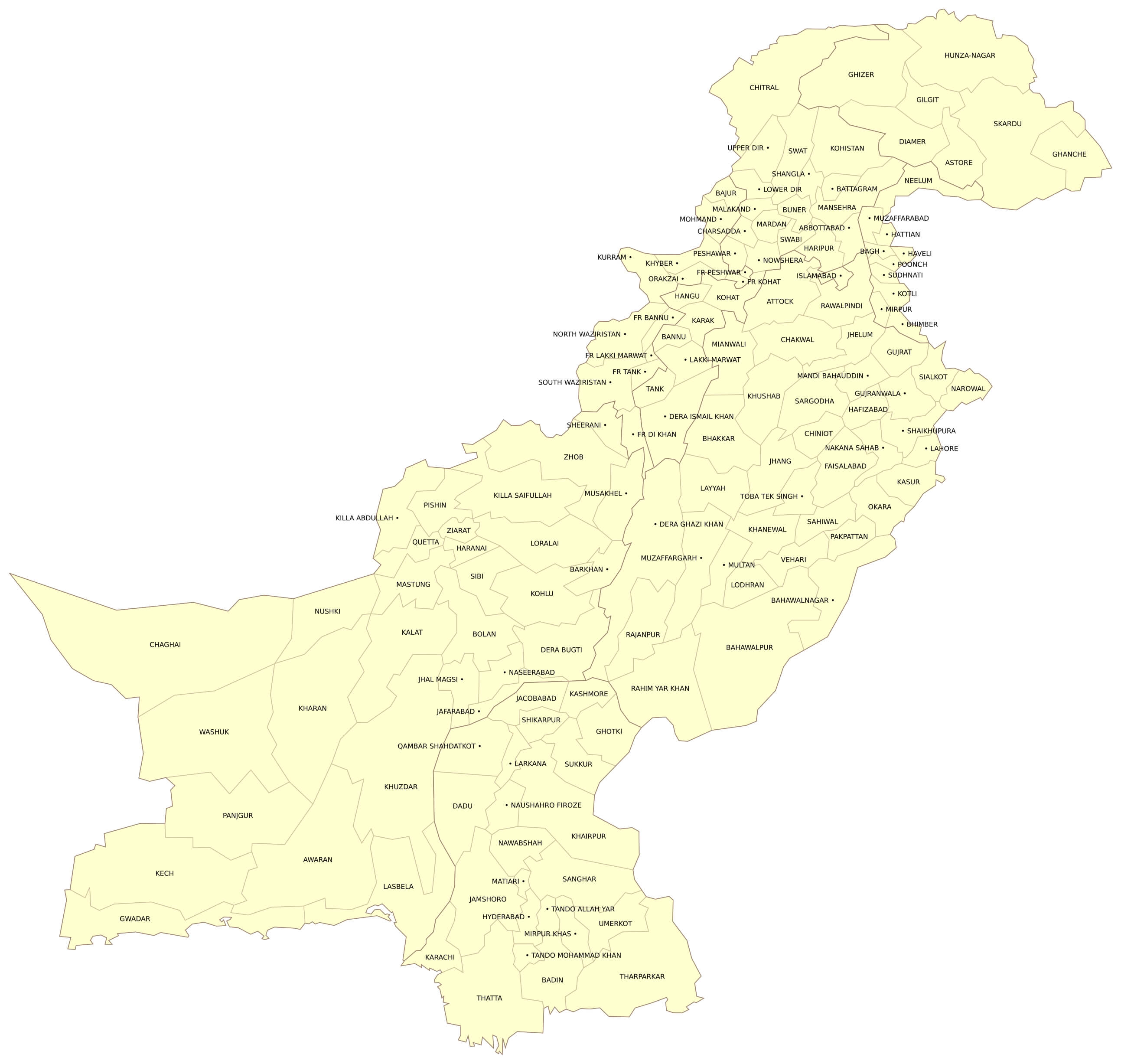
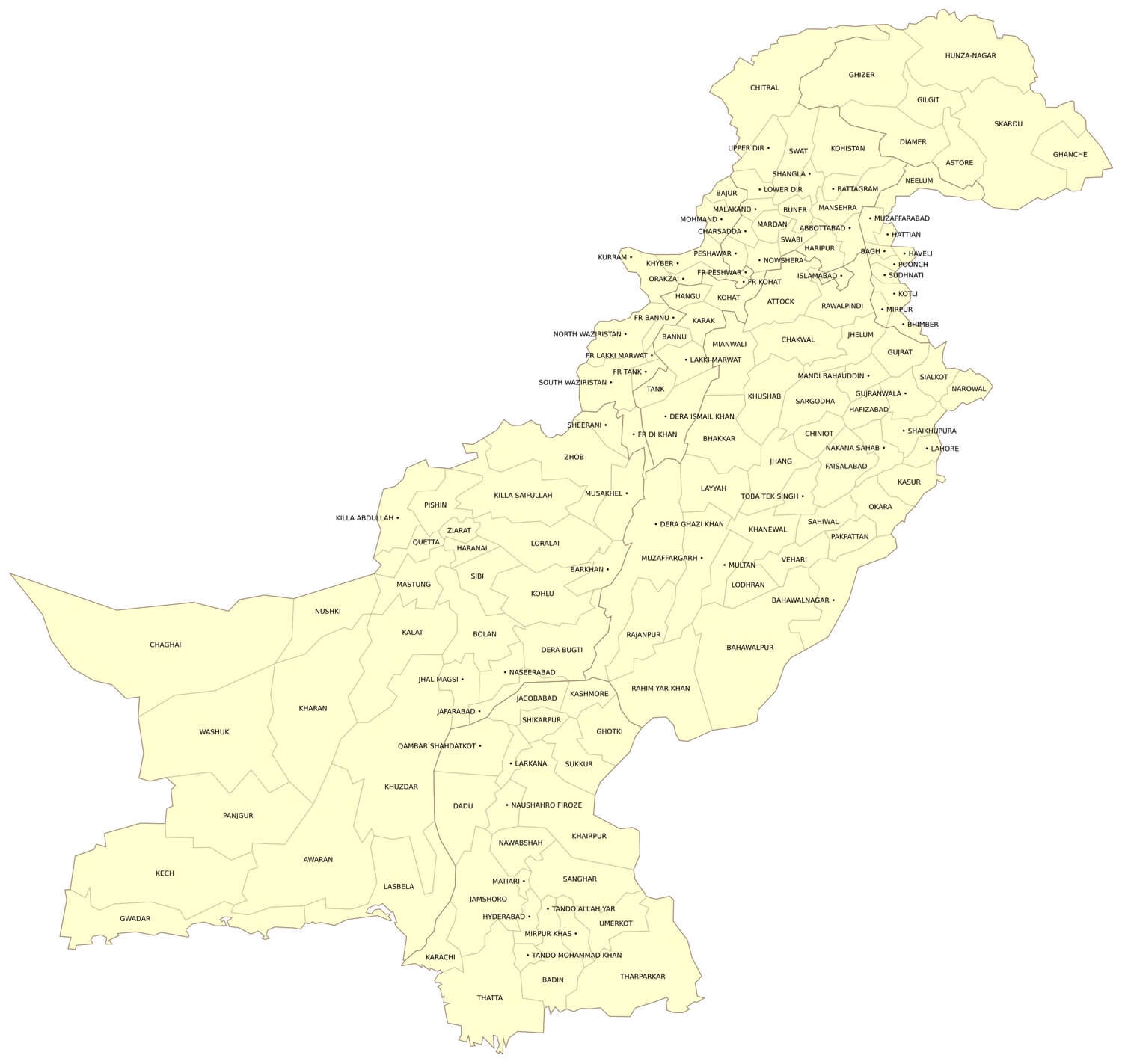
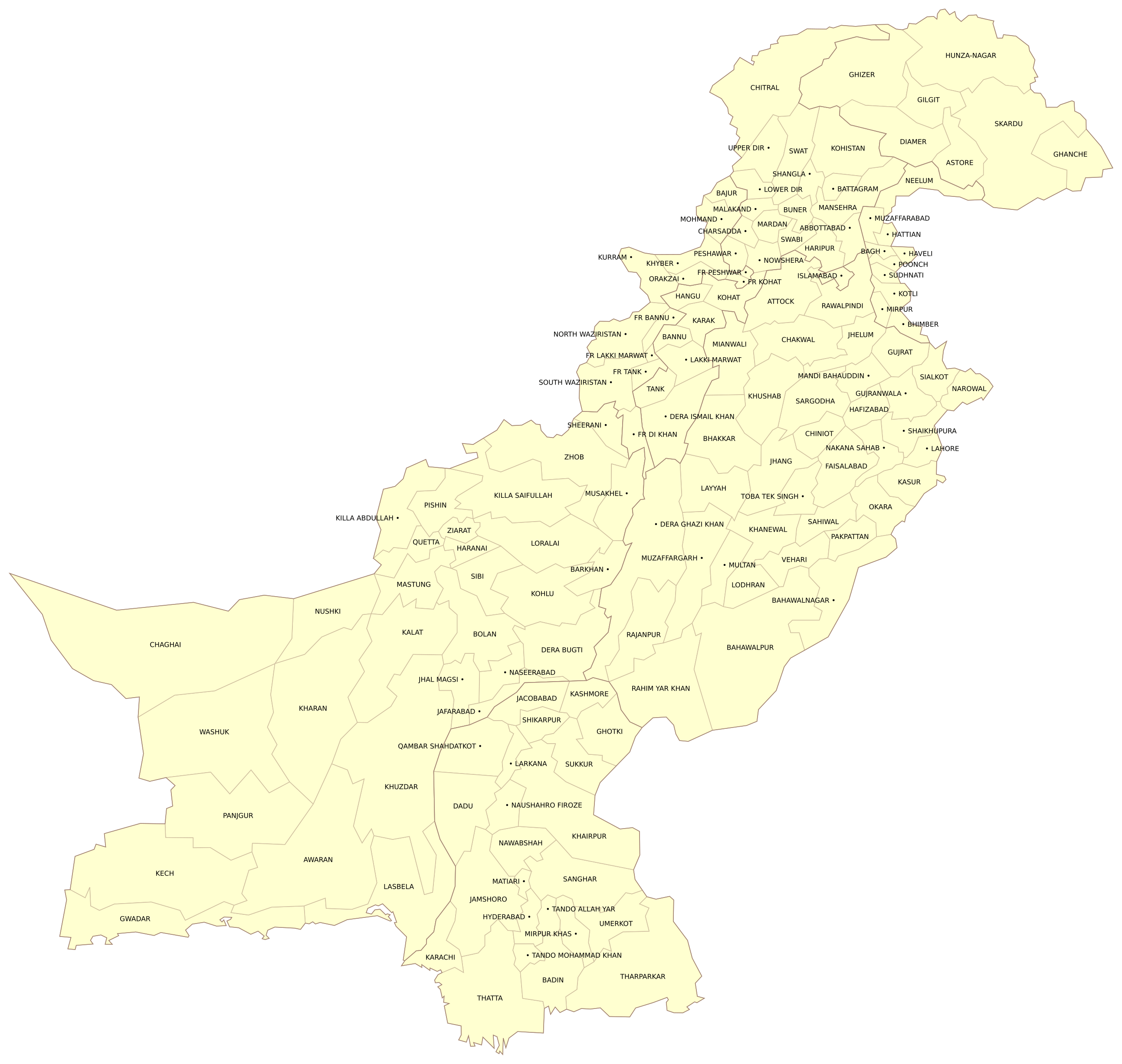
Download free maps of Pakistan in PDF, PNG, JPG and SVG. The large detailed map of Pakistan is a road map with cities, towns, roads, rivers, forested areas and deserts, from the Karakoram and the Hindu Kush in the north to the Indus delta and the Arabian Sea in the south, offered in a size of 5000 x 4945 pixels. The map of Pakistan with districts shows the names of all the districts of the country, grouped by province: Punjab, Sindh, Khyber Pakhtunkhwa, Balochistan, Gilgit-Baltistan and Azad Kashmir. The simple map of Pakistan shows the provinces and the major cities: Islamabad, Karachi, Lahore, Faisalabad, Rawalpindi, Peshawar, Multan and Quetta. Pakistan borders India, Afghanistan, Iran and China, and the Indus River runs through the whole country. See also the pages of India and Bangladesh and the maps of Asia.
Detailed map of Pakistan
Download: JPG (800 x 791 pixels) | JPG (2000 x 1978 pixels) | JPG (5000 x 4945 pixels) | PNG (800 x 791 pixels) | PNG (2000 x 1978 pixels) | PNG (5000 x 4945 pixels) | PDF
Description: Detailed map of Pakistan with roads, cities, towns, rivers, forested areas and deserts.
License: Open data (ODbl)
Author: OpenStreetMap and contributors
Source file: OpenStreetMap
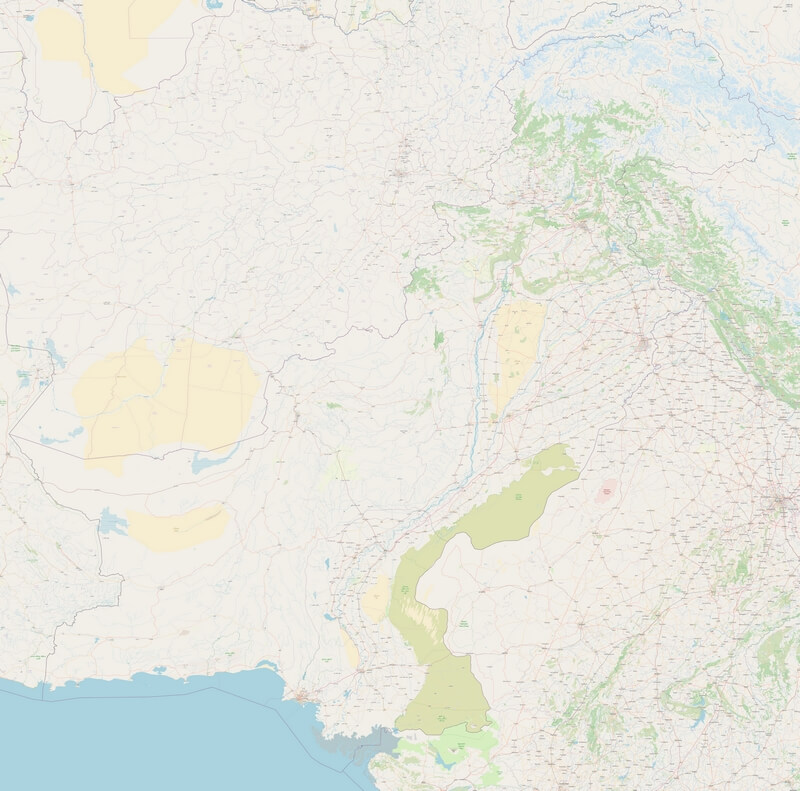
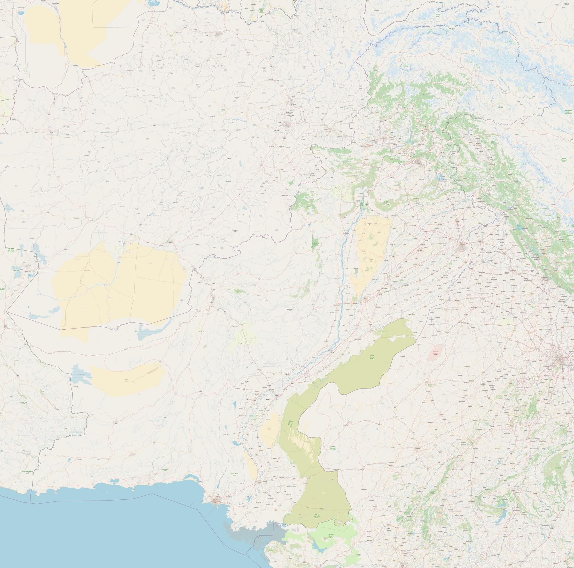
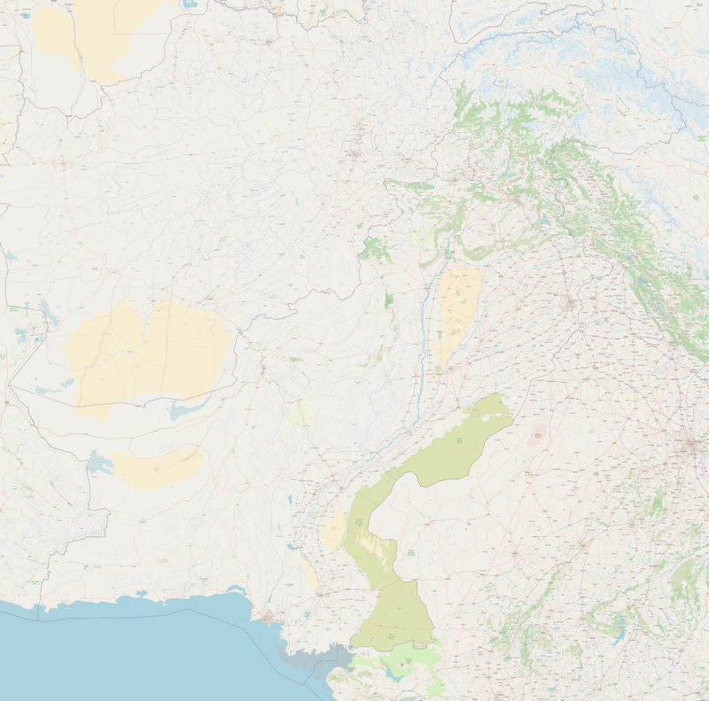
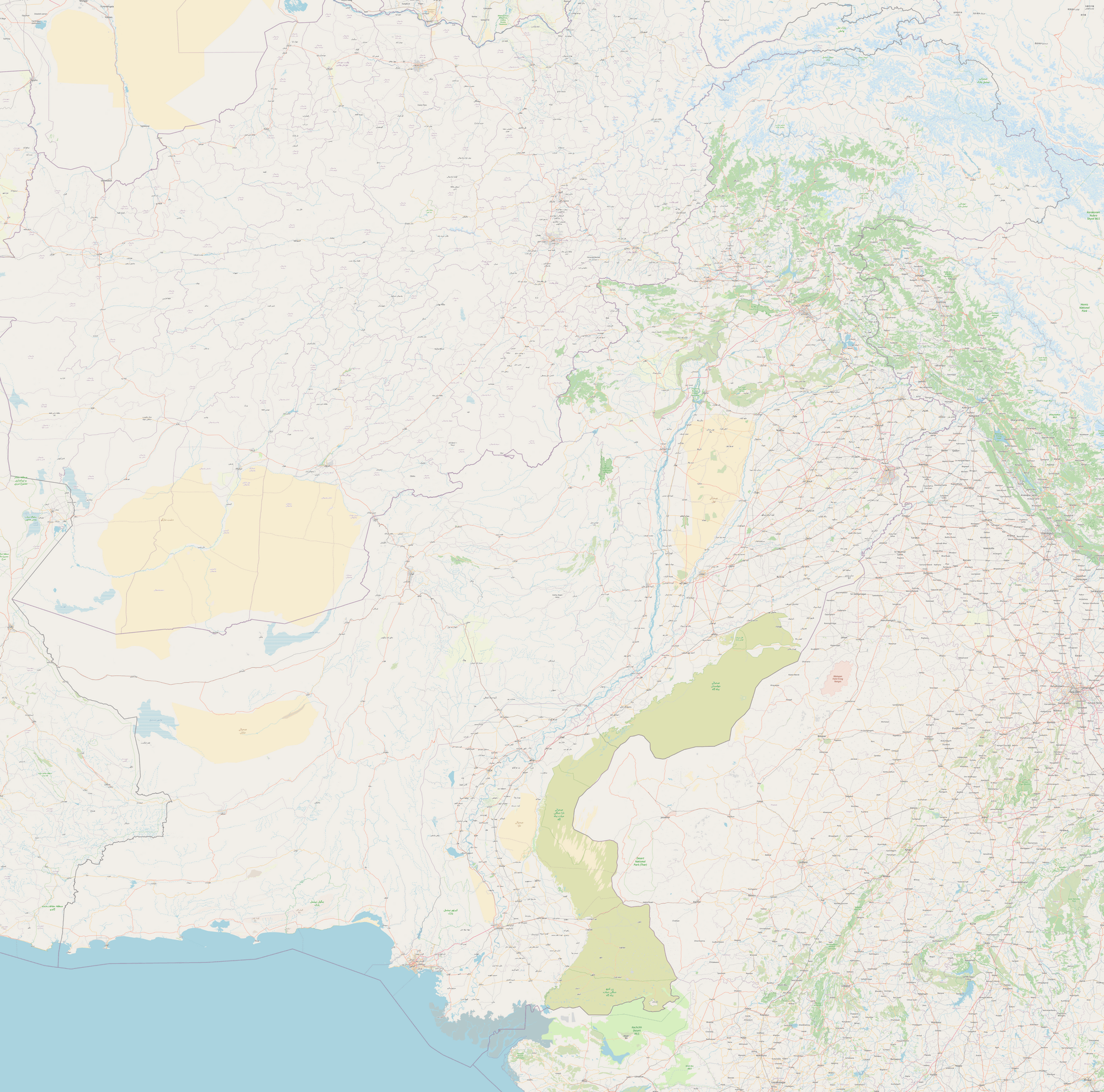
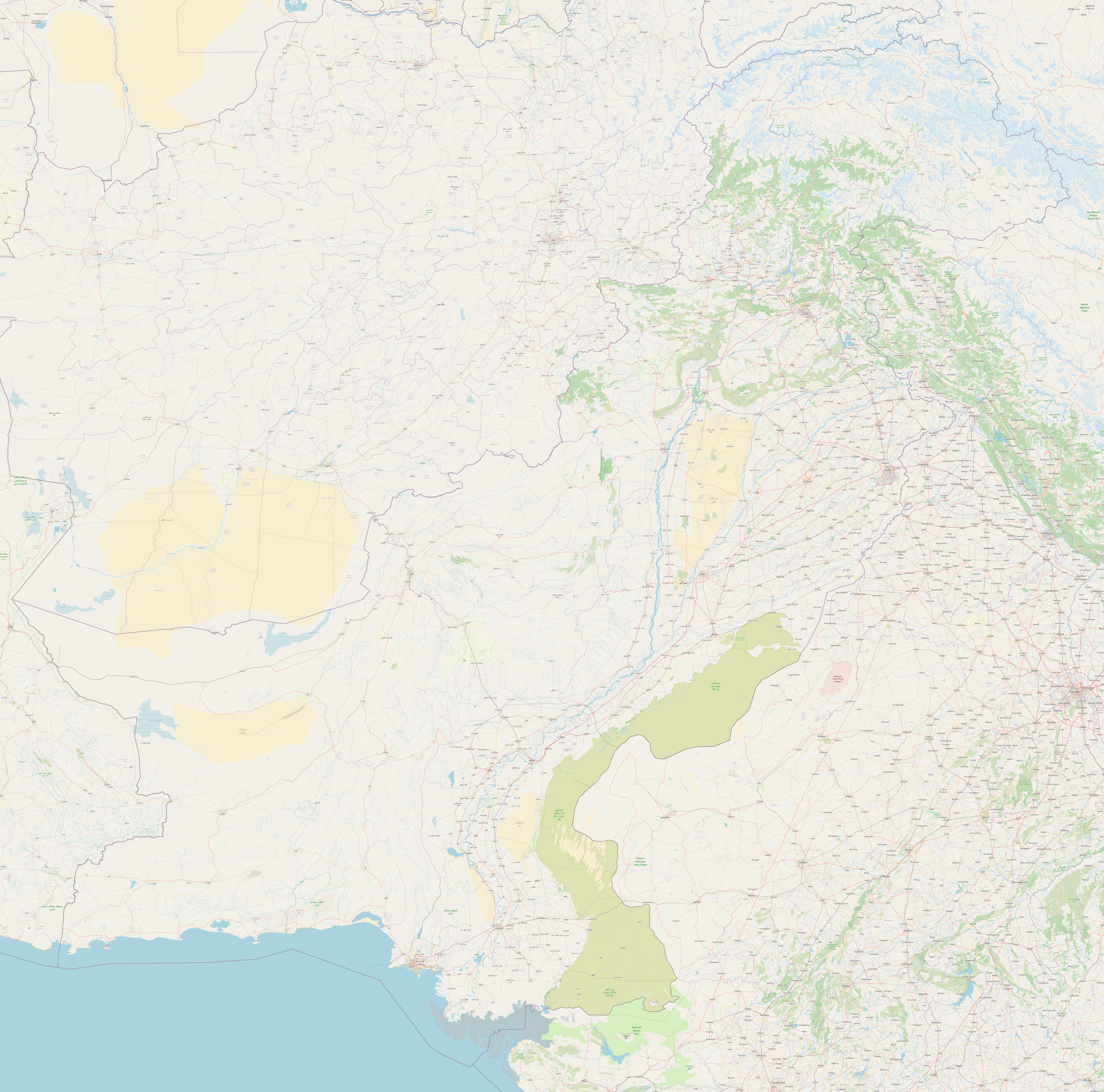
Description: Detailed map of Pakistan with roads, cities, towns, rivers, forested areas and deserts.
License: Open data (ODbl)
Author: OpenStreetMap and contributors
Source file: OpenStreetMap
Map of Pakistan with districts
Download: JPG (800 x 759 pixels) | JPG (1500 x 1423 pixels) | JPG (2586 x 2454 pixels) | PNG (800 x 759 pixels) | PNG (1500 x 1423 pixels) | PNG (2586 x 2454 pixels) | PDF | SVG
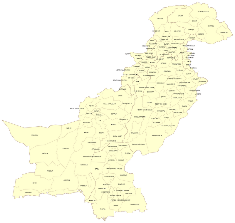
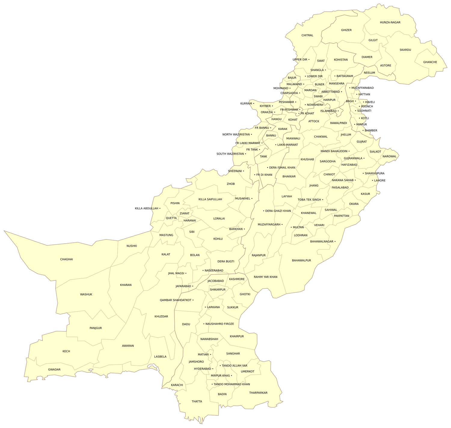
Description: Large map of Pakistan with names of all districts.
License: Public domain
Author: Schajee
Source file: Wikipedia (view)
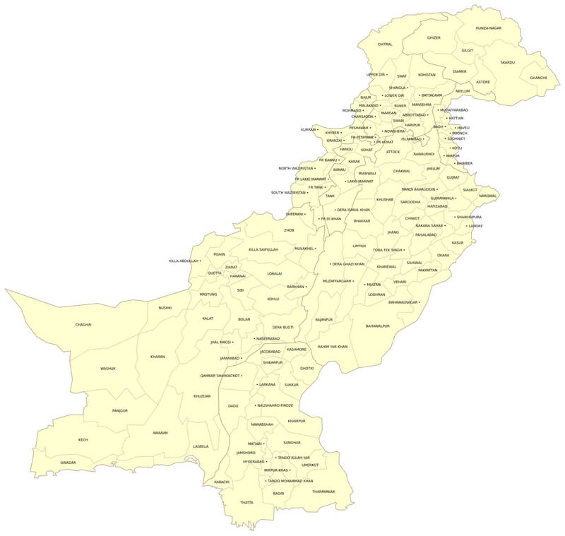
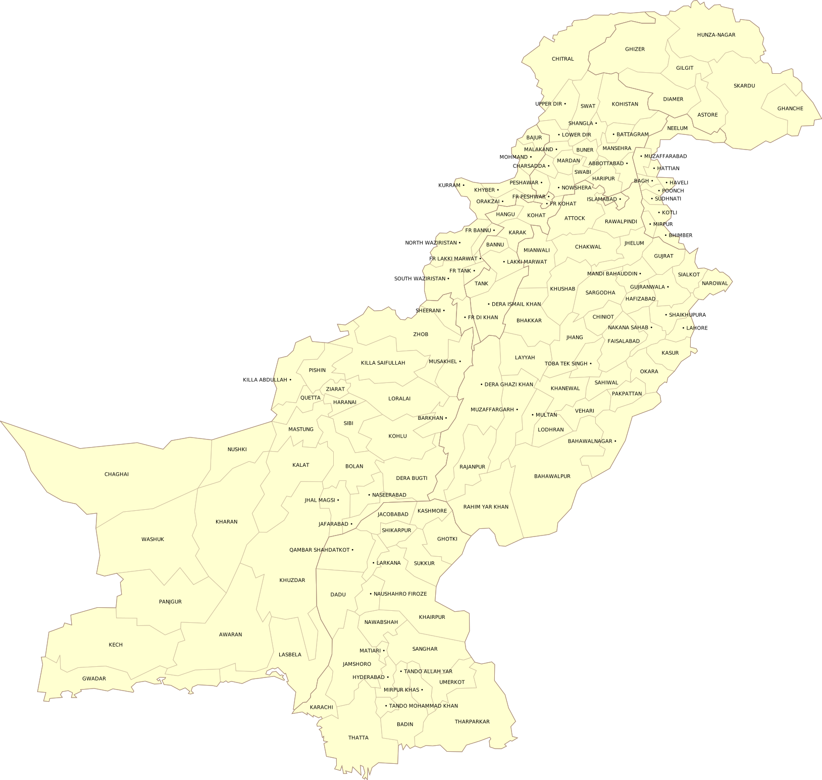
Description: Large map of Pakistan with names of all districts.
License: Public domain
Author: Schajee
Source file: Wikipedia (view)

Simple map of Pakistan