WorldmapPDF
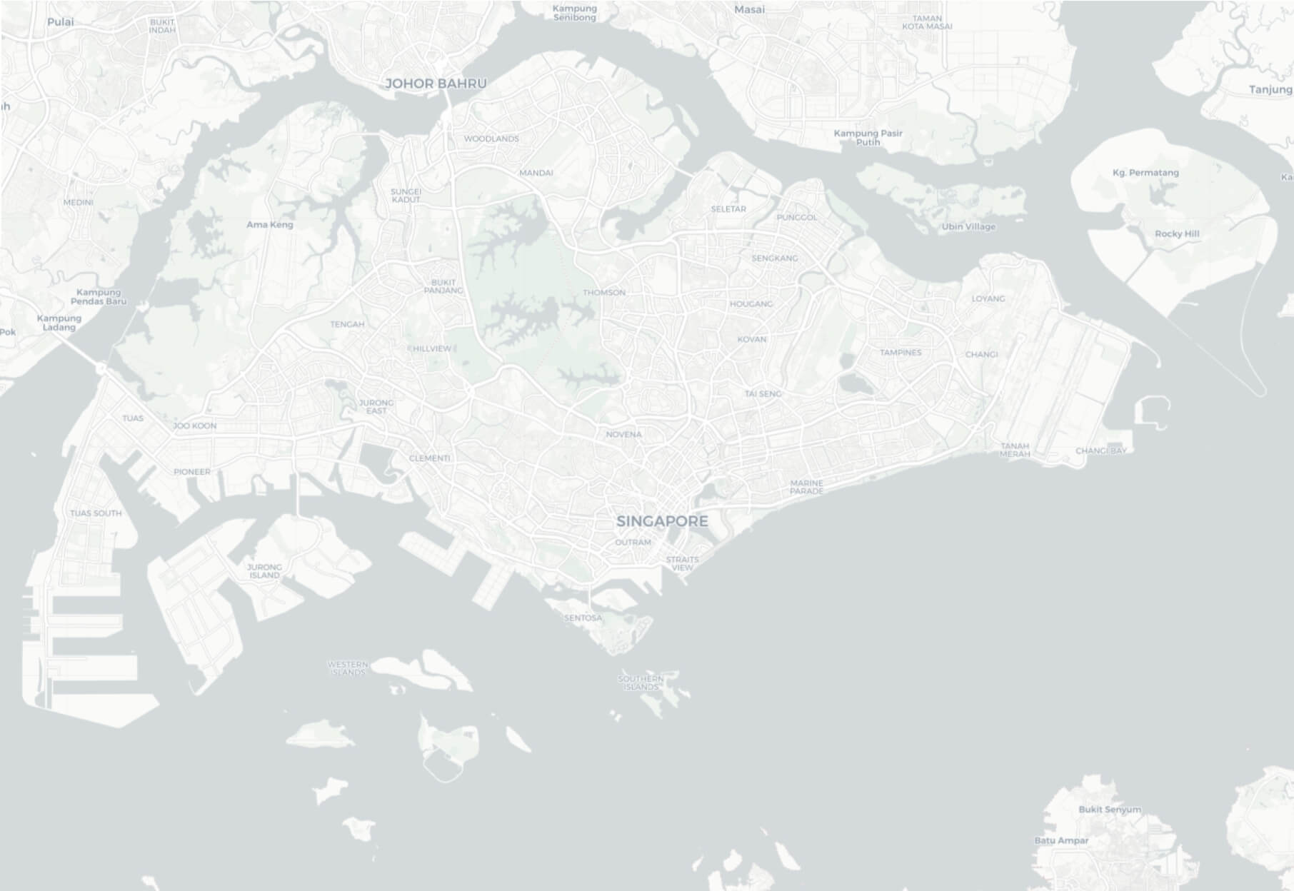
Large map of Singapore with major roads
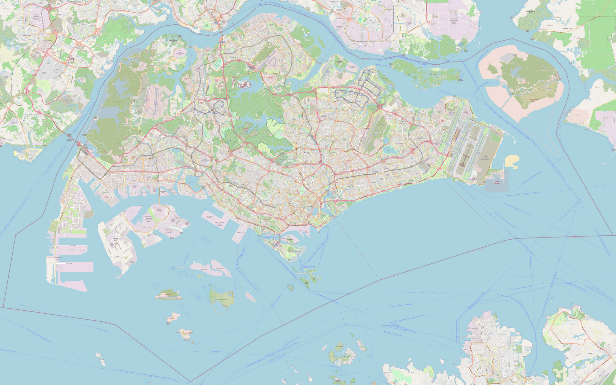
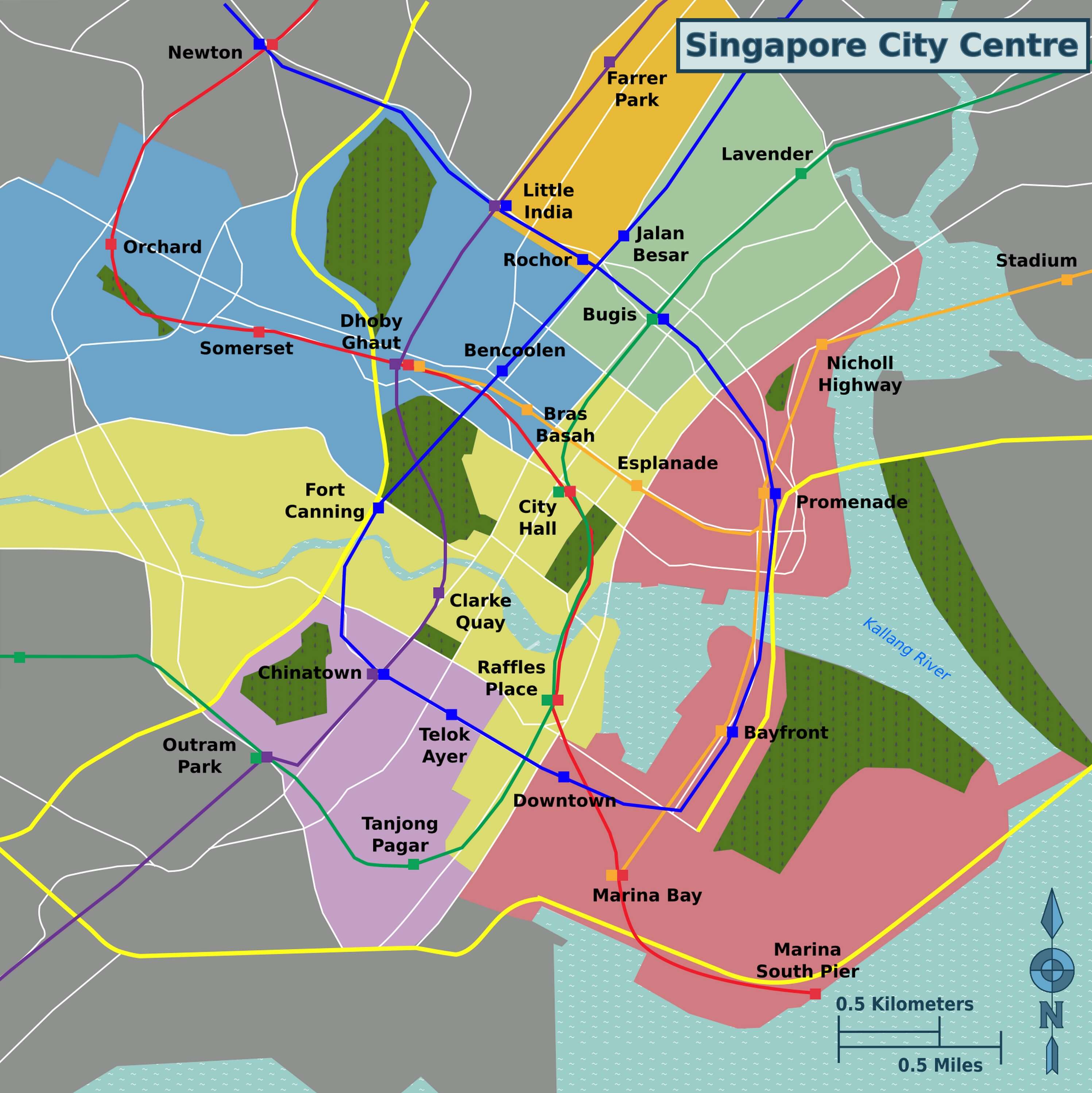
Download free maps of Singapore in PDF, PNG, JPG and SVG. The large detailed map of Singapore is a street map with roads, streets, parks, the islands of the city-state including Sentosa and Pulau Ubin, and the airports, Changi and Seletar. With a size of 7912 x 4945 pixels it can be printed as a large city map. The map of downtown Singapore shows the central districts in color, Marina Bay, the Central Business District, Chinatown, Little India, Orchard Road and Kampong Glam, with the public transport network and the names of the MRT stations, a practical map for visitors. The simple map of Singapore shows the main roads and the planning regions of the island. Singapore is an island city-state at the southern tip of the Malay Peninsula, separated from Malaysia by the Johor Strait. See also the pages of Malaysia and Indonesia.
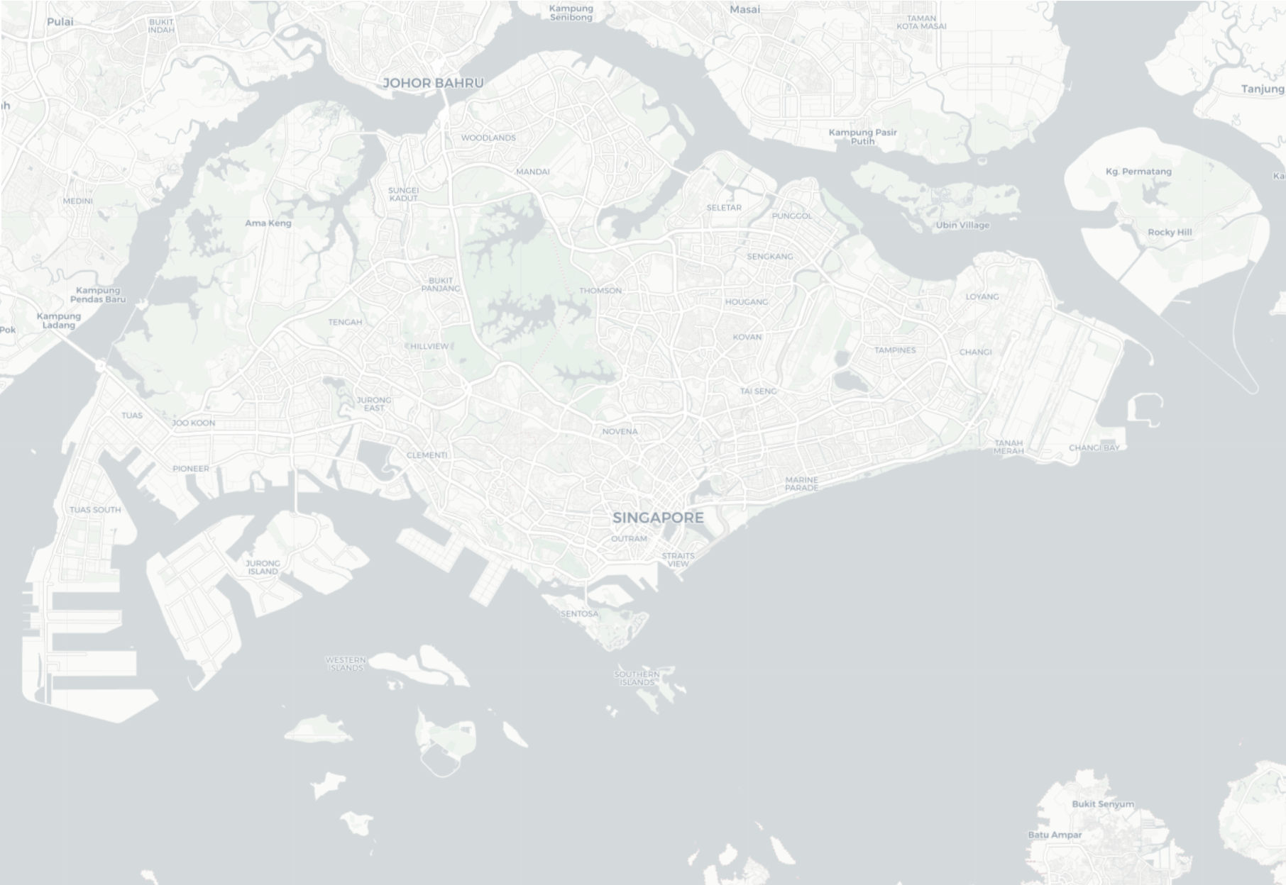
Detailed map of Singapore
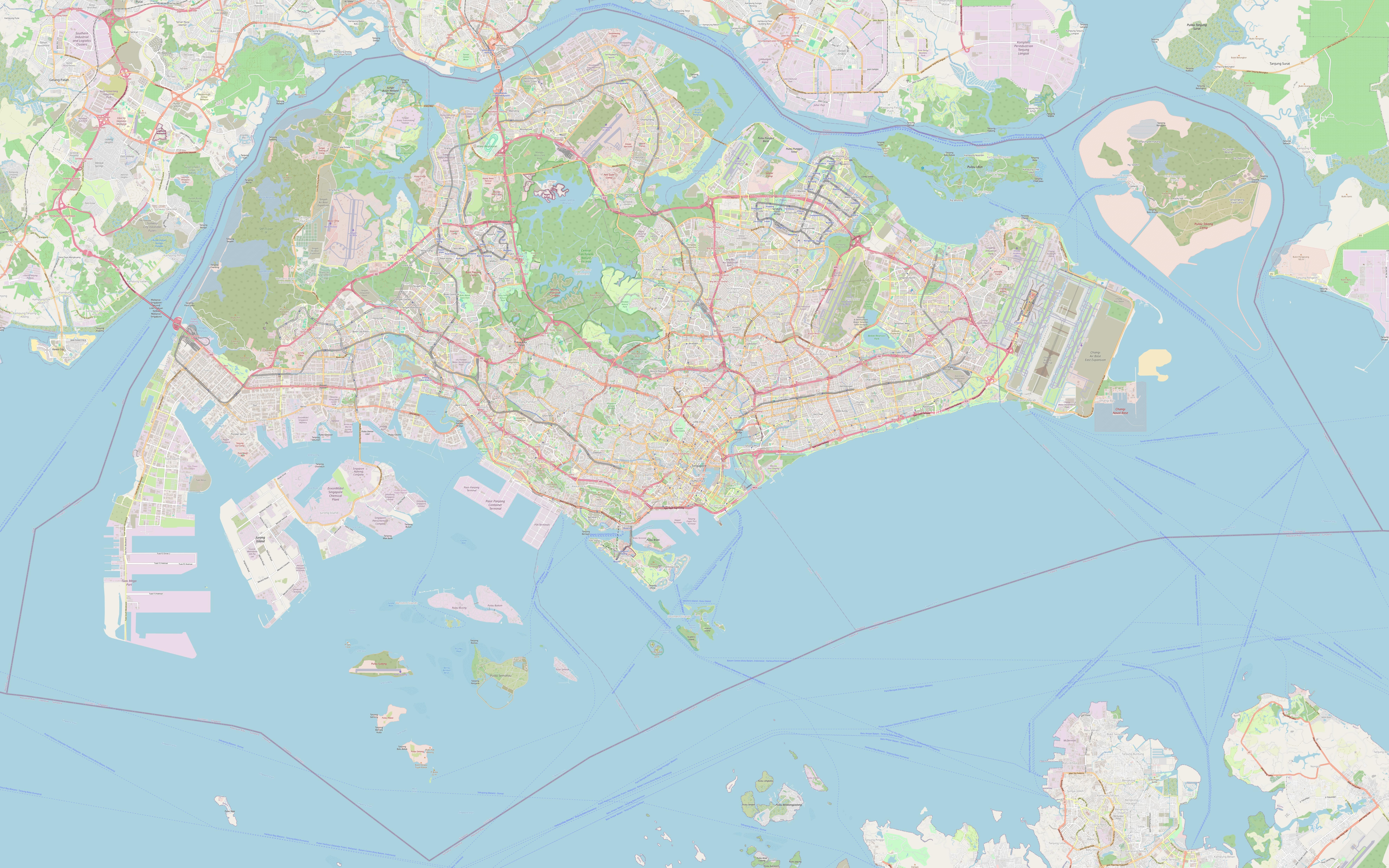
Download: JPG (800 x 500 pixels) | JPG (2000 x 1250 pixels) | JPG (7912 x 4945 pixels) | PNG (800 x 500 pixels) | PNG (2000 x 1250 pixels) | PNG (7912 x 4945 pixels) | PDF
Description: Detailed map of Singapore, with roads, streets, parks, islands and airports.
License: Open data (ODbl)
Author: OpenStreetMap and contributors
Source file: OpenStreetMap
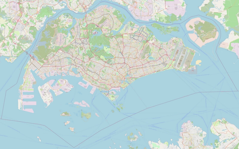
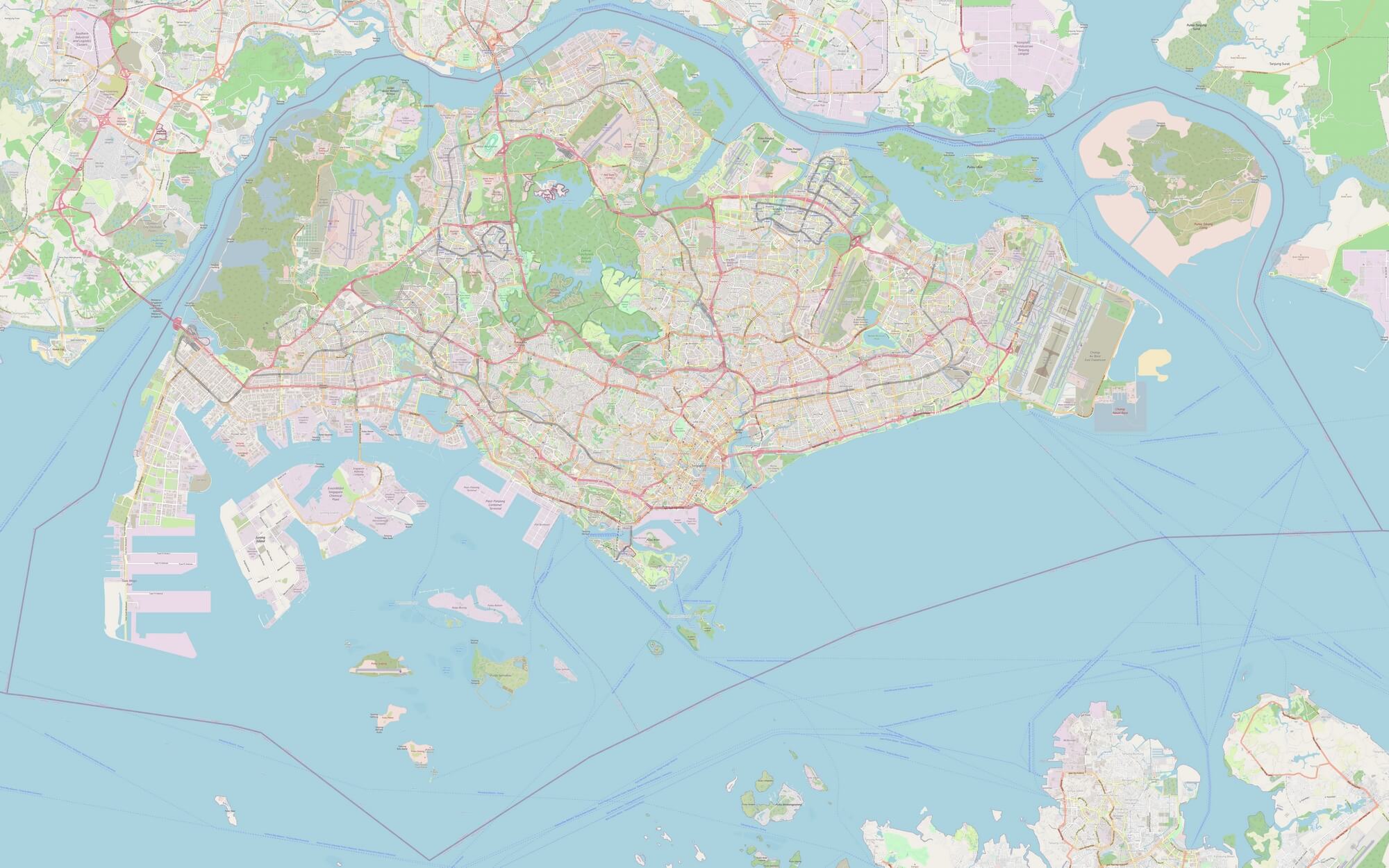
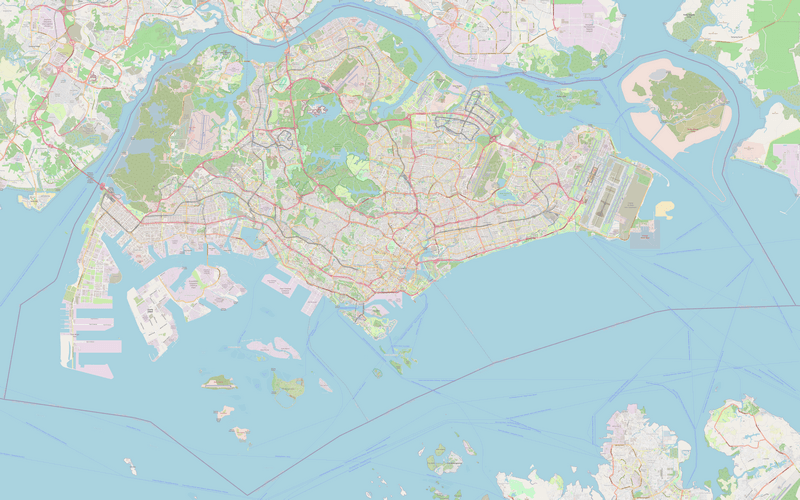
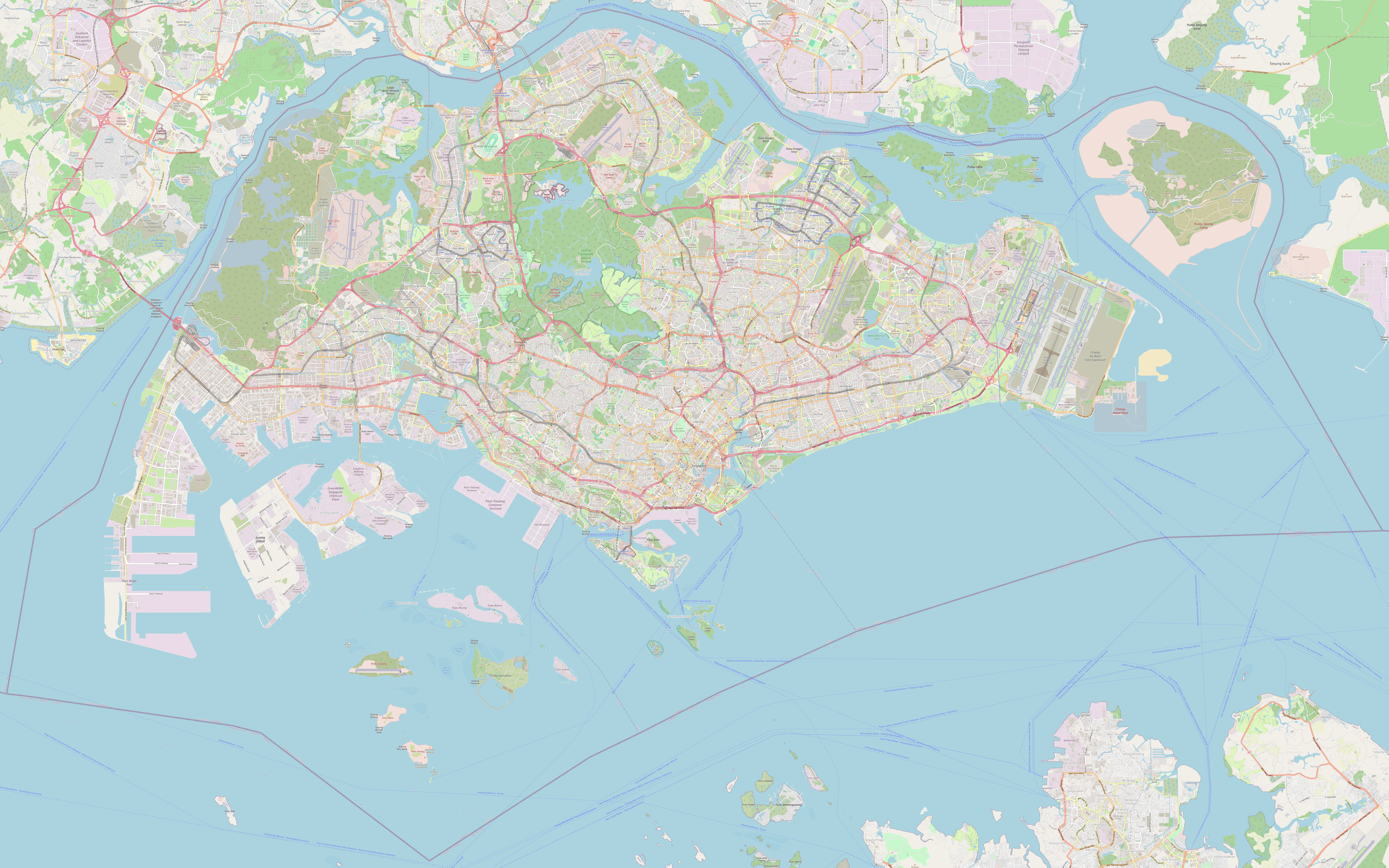
Description: Detailed map of Singapore, with roads, streets, parks, islands and airports.
License: Open data (ODbl)
Author: OpenStreetMap and contributors
Source file: OpenStreetMap
Map of Singapore
Download: JPG (799 x 800 pixels) | JPG (1999 x 2000 pixels) | JPG (2994 x 2996 pixels) | PNG (799 x 800 pixels) | PNG (1999 x 2000 pixels) | PNG (2994 x 2996 pixels) | PDF | SVG
Description: Map of downtown Singapore with colored districts, public transport and MRT station names.
License: CC BY-SA 3.0
Author: Torty3
Source file: Wikimedia (view)
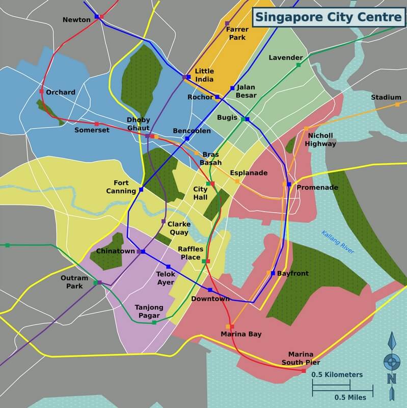
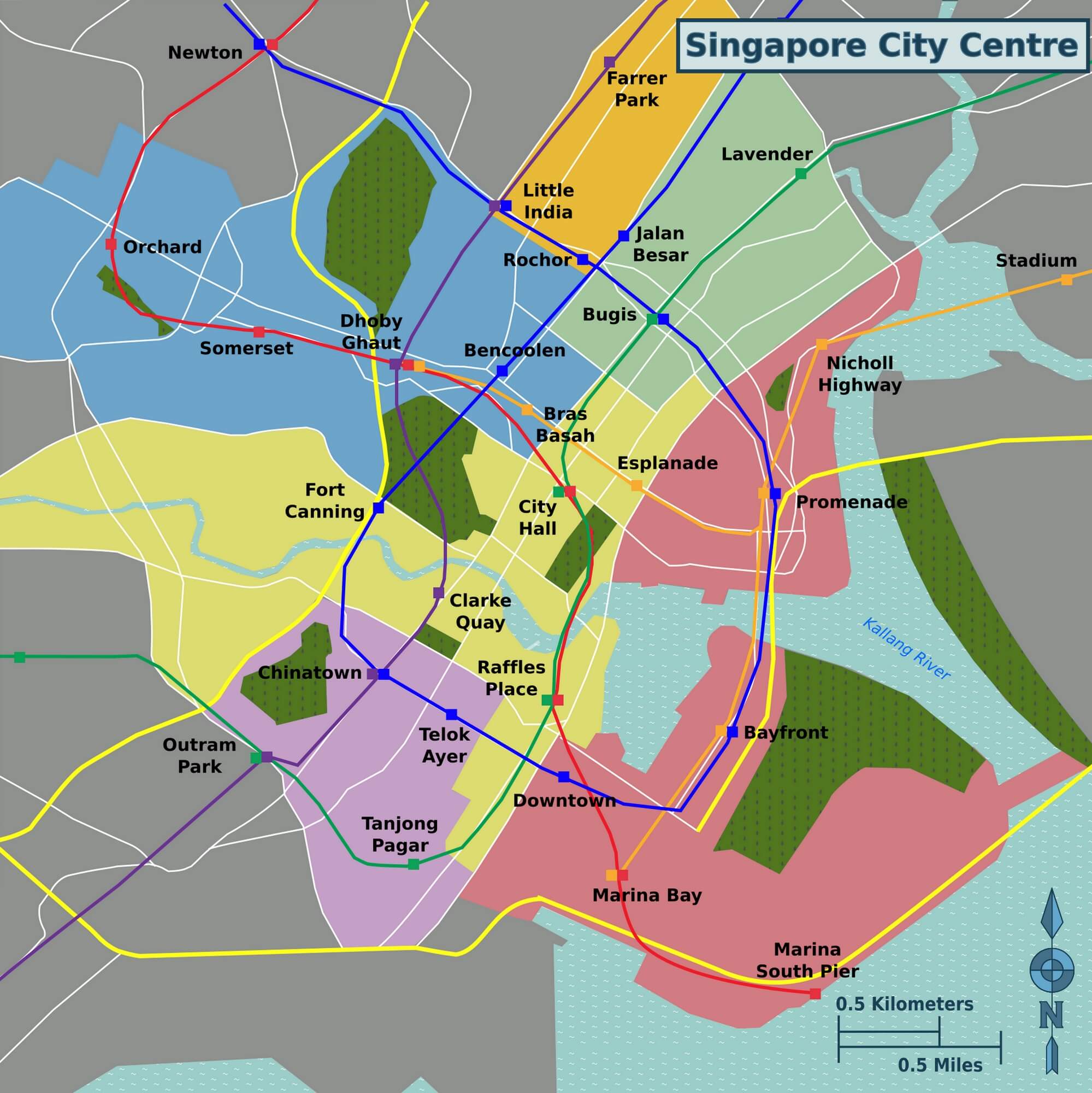
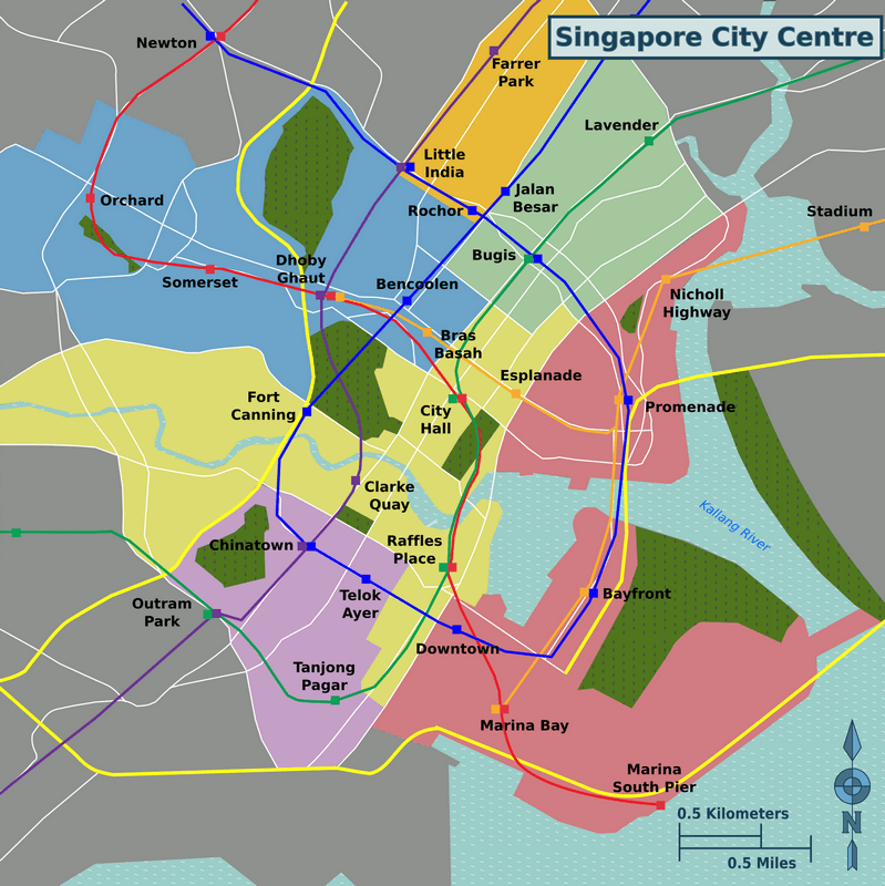
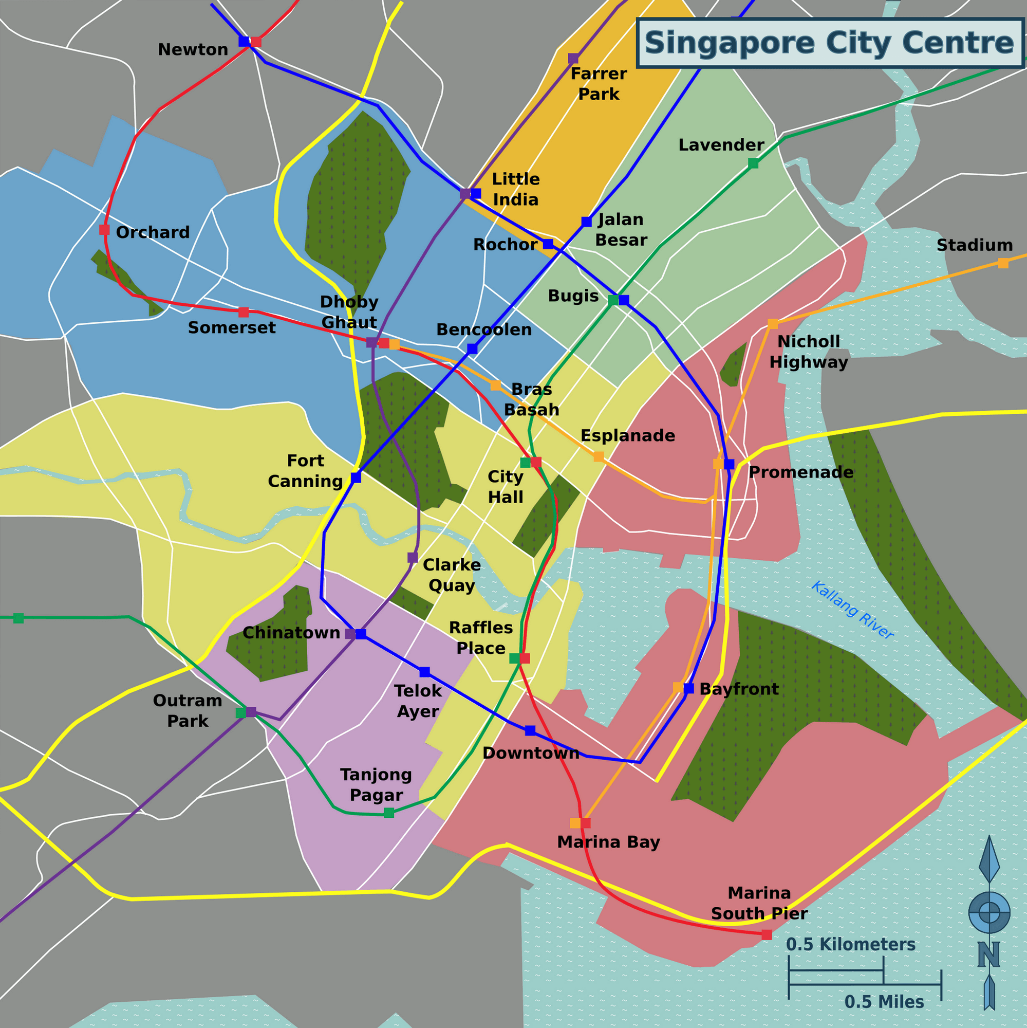
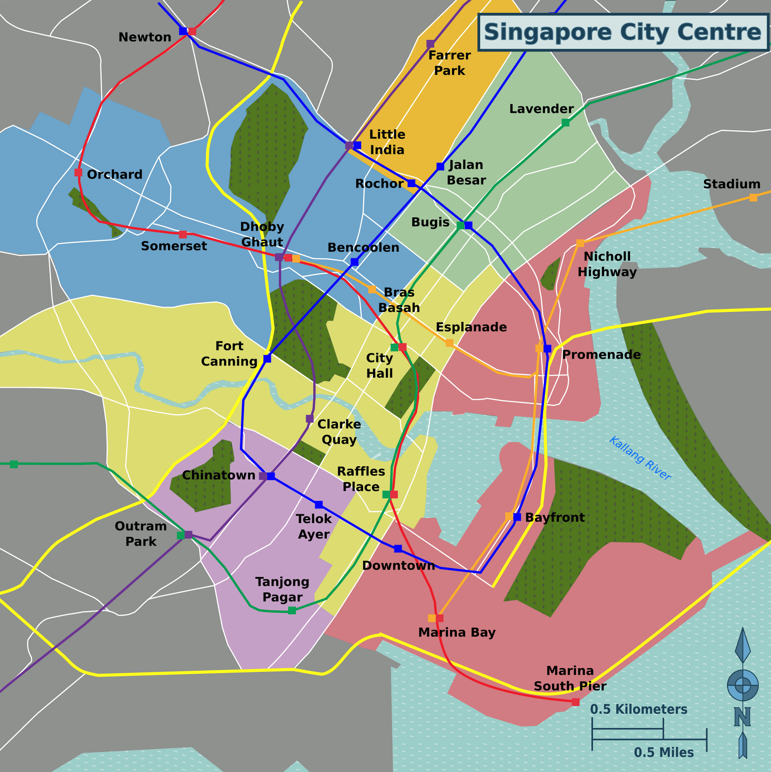
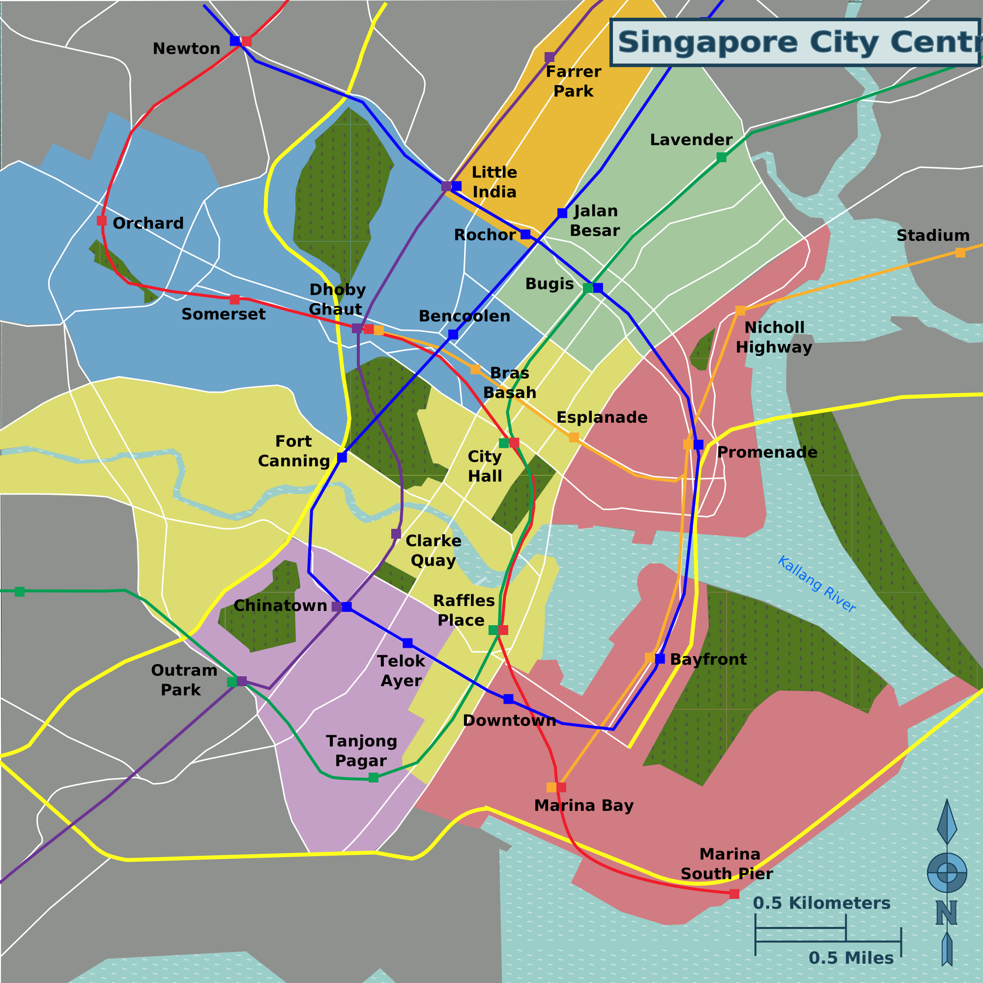
Description: Map of downtown Singapore with colored districts, public transport and MRT station names.
License: CC BY-SA 3.0
Author: Torty3
Source file: Wikimedia (view)

Simple map of Singapore