WorldmapPDF
Simple map of Uzbekistan
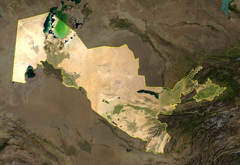
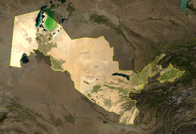
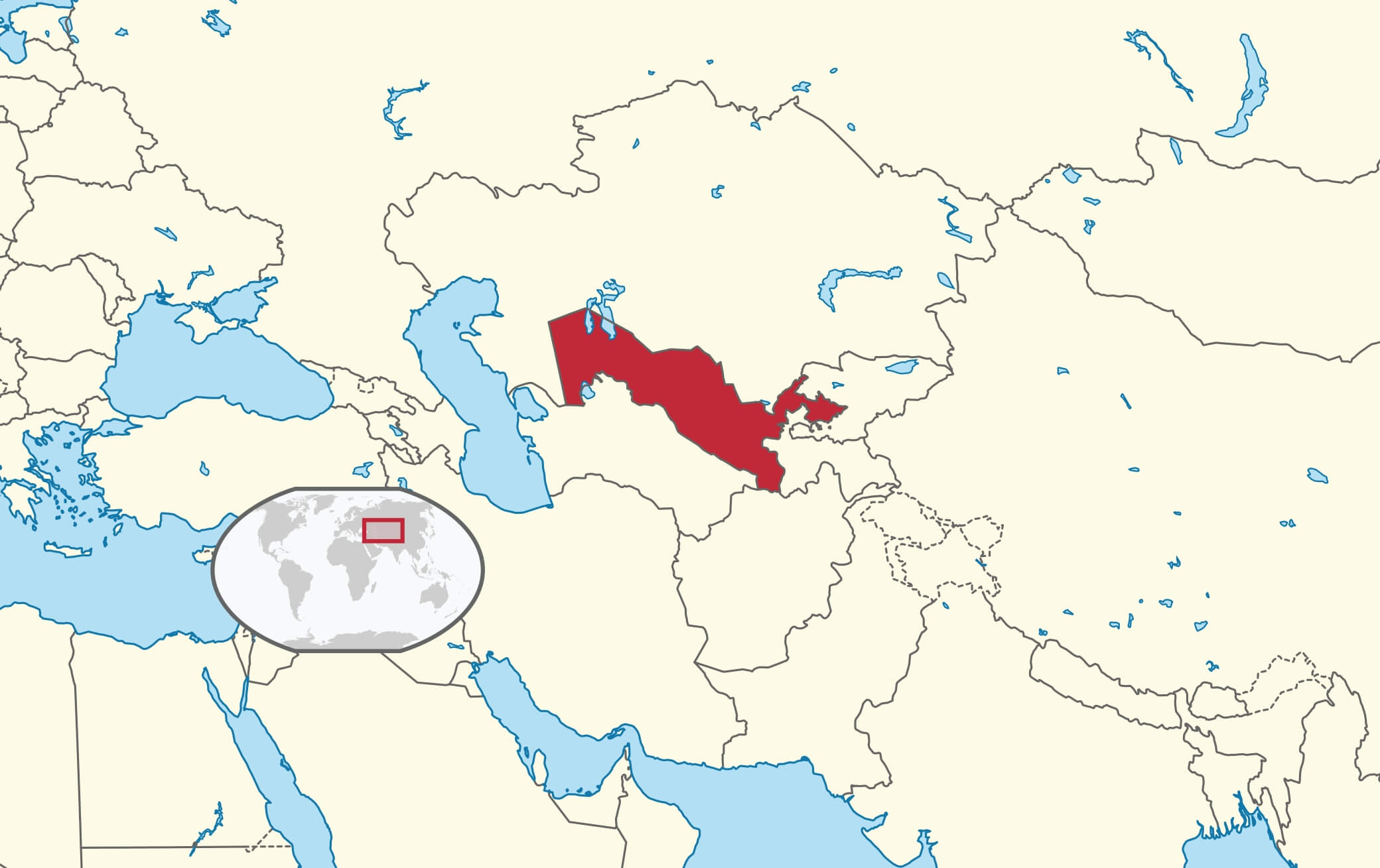
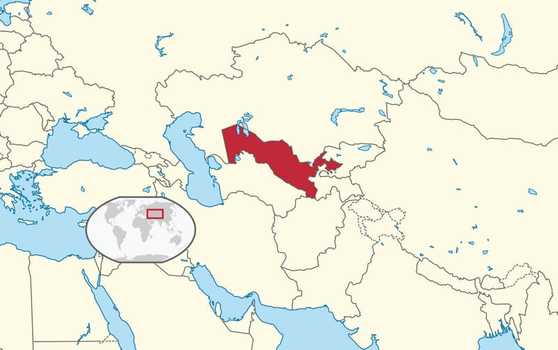
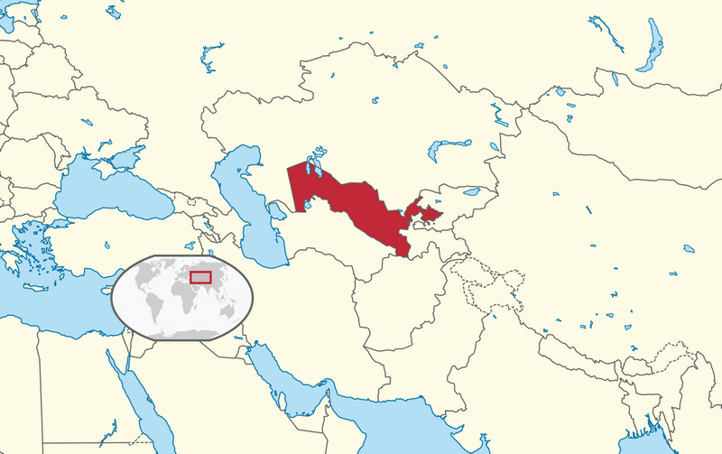
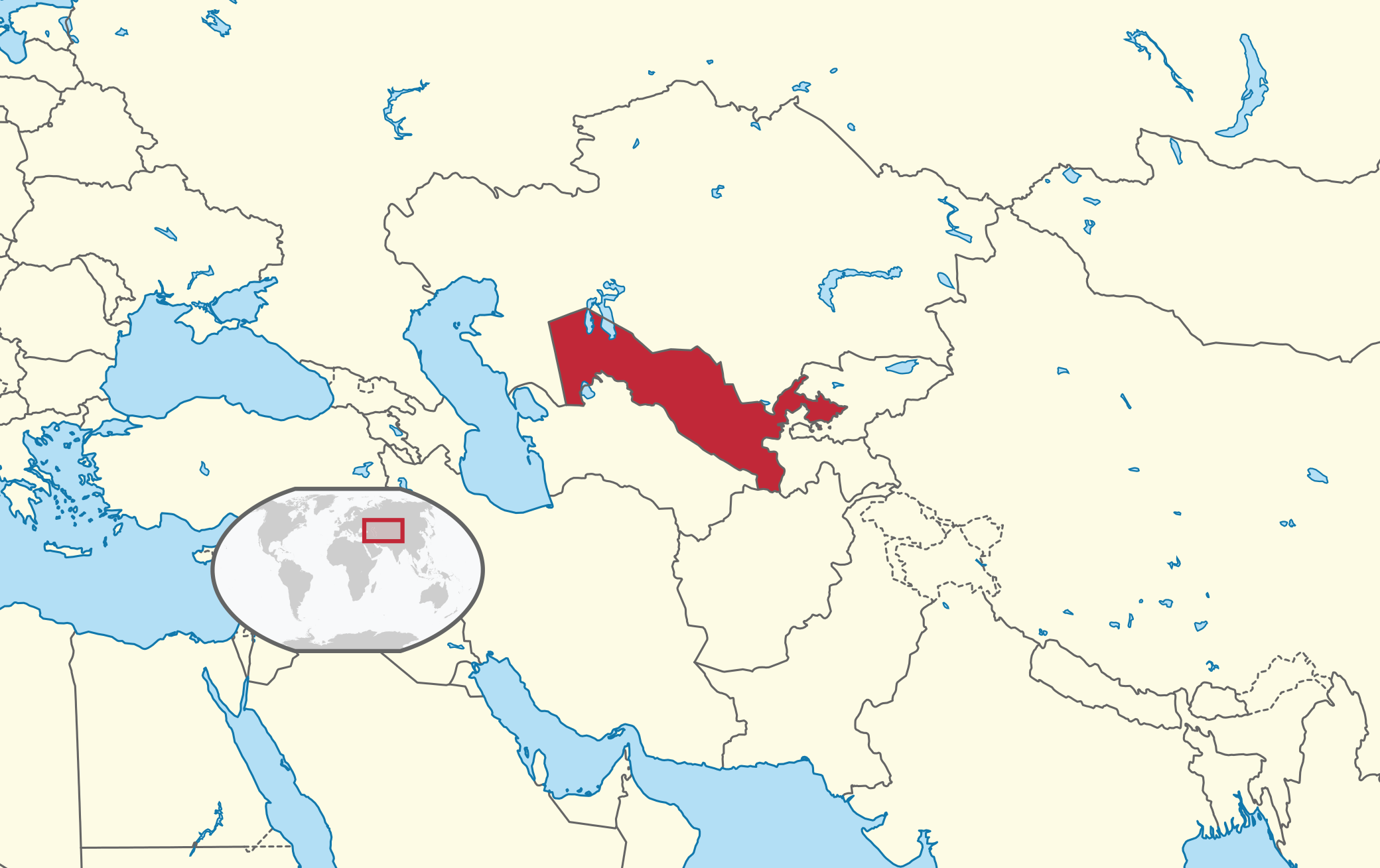
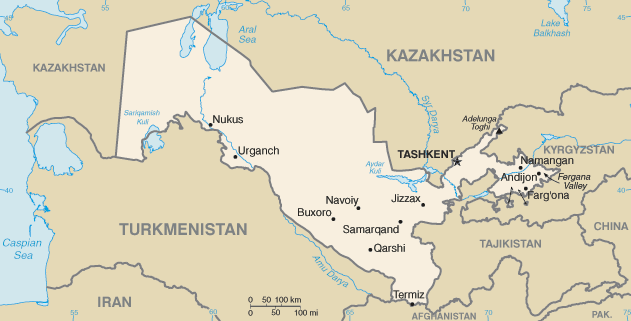
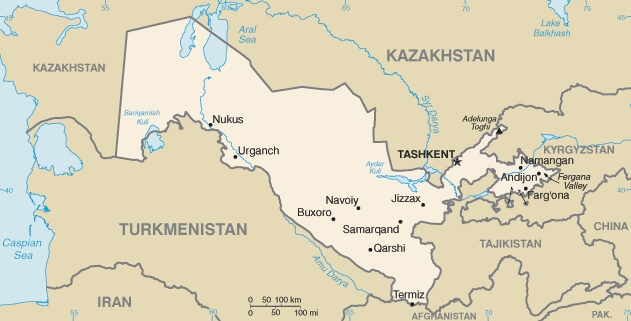
Download free maps of Uzbekistan in PDF, PNG, JPG and SVG. The location map shows Uzbekistan in red in the middle of Central Asia, between Kazakhstan, Kyrgyzstan, Tajikistan, Afghanistan and Turkmenistan. It is one of only two doubly landlocked countries in the world, together with Liechtenstein. The simple map of Uzbekistan shows the capital Tashkent and the main cities, including Samarkand, Bukhara, Khiva, Namangan, Andijan and Nukus, famous stops on the ancient Silk Road. The satellite photo of Uzbekistan shows the country from space with its border, the Kyzylkum desert, the Fergana valley, the Amu Darya and Syr Darya rivers and what remains of the Aral Sea. These maps are useful for travelers preparing a trip to the Silk Road cities and for school geography. For the whole region, see the maps of Asia on WorldmapPDF.
Uzbekistan location map


Simple map of Uzbekistan

Satellite photo of Uzbekistan