WorldmapPDF
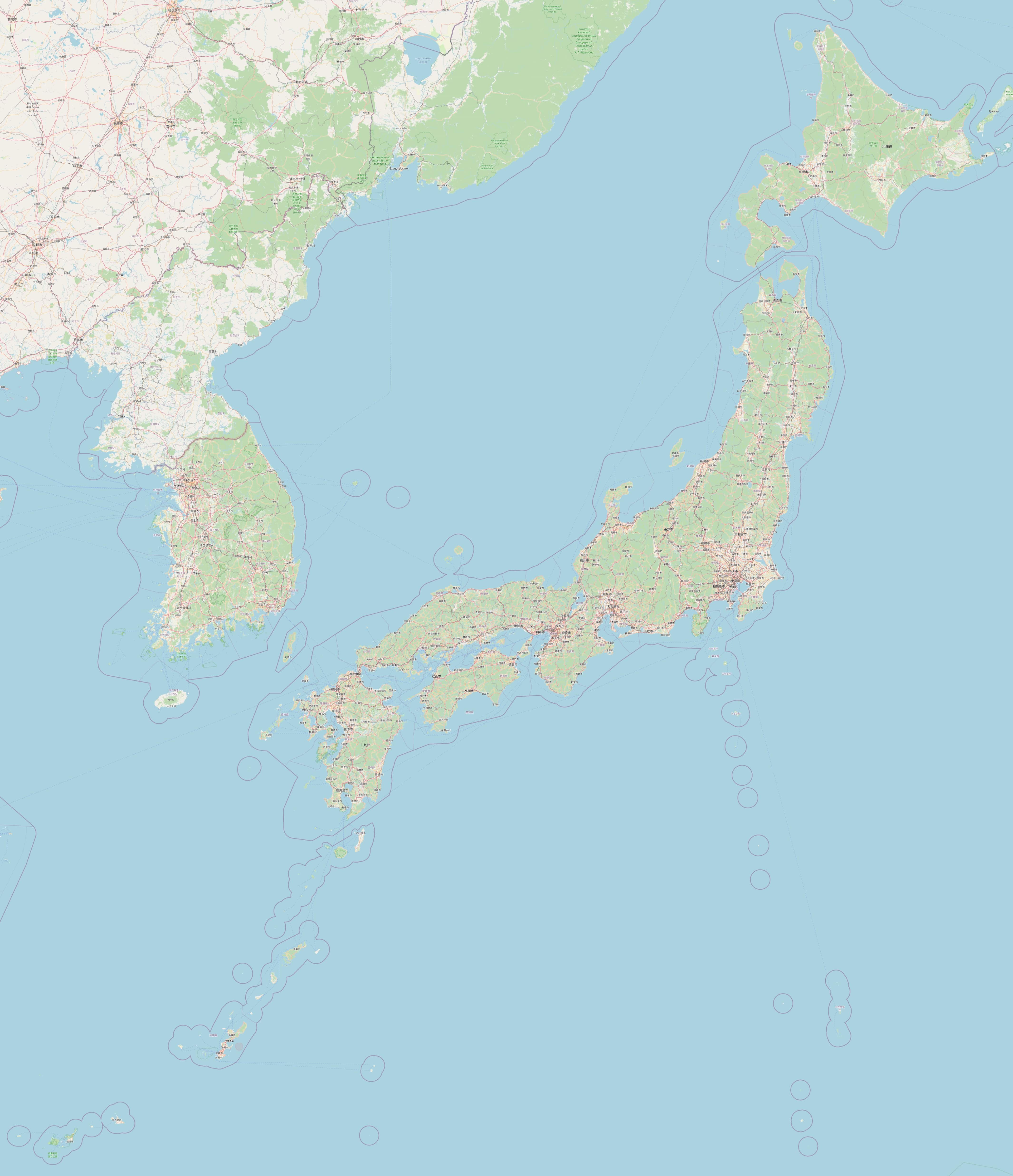
Large map of Japan with roads and cities
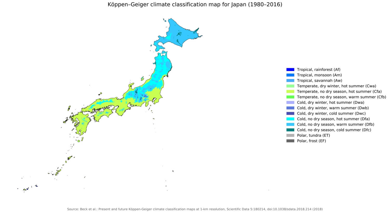
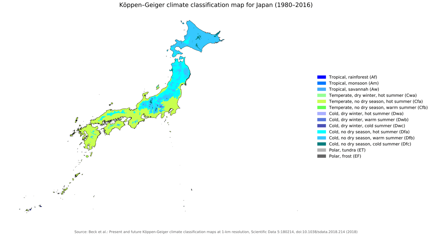
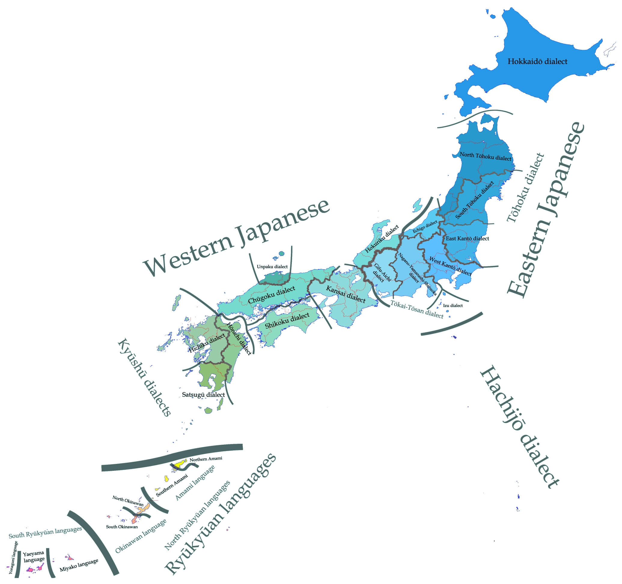
Download free maps of Japan in PDF, PNG, JPG and SVG. The climate map of Japan follows the Koppen-Geiger classification for the period 1980 to 2016 and shows the contrast between the cold humid climate of Hokkaido, the temperate climate of Honshu, Shikoku and Kyushu and the subtropical climate of Okinawa. The large detailed map of Japan is a road map with cities, towns, major and minor roads, islands and lakes, from Sapporo in the north to Kagoshima and the Ryukyu Islands in the south, with Tokyo, Yokohama, Osaka, Nagoya, Kyoto, Kobe and Fukuoka; it is offered in a size of 4260 x 4945 pixels. The map of Japanese dialects shows the regional varieties of the Japanese language spoken across the country. Japan is an archipelago of four main islands in East Asia. See also the maps of Asia and the pages of China and Hong Kong.
Climate map of Japan
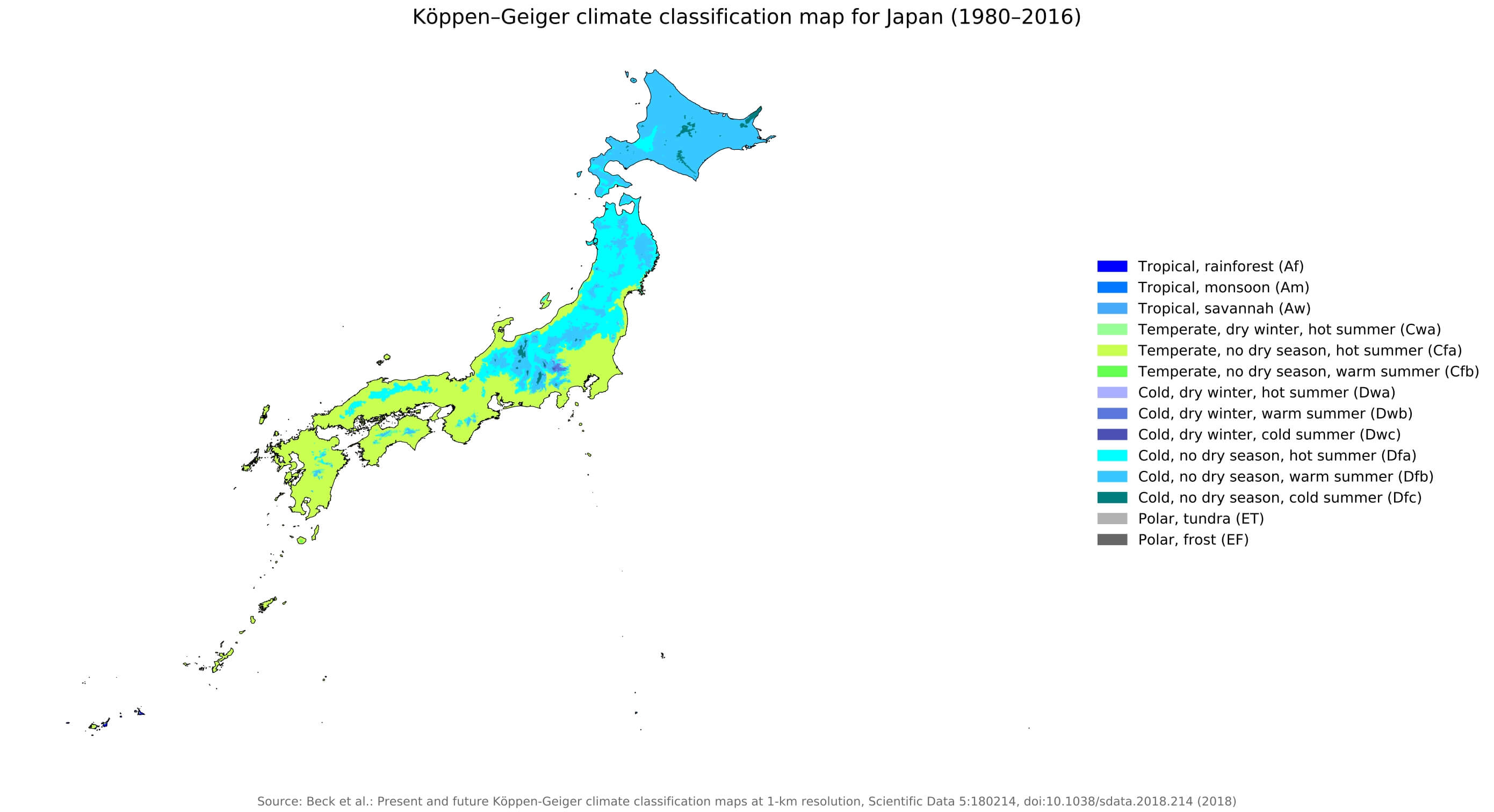
Download: JPG (800 x 435 pixels) | JPG (1500 x 816 pixels) | JPG (2781 x 1512 pixels) | PNG (800 x 435 pixels) | PNG (1500 x 816 pixels) | PNG (2781 x 1512 pixels) | PDF | SVG
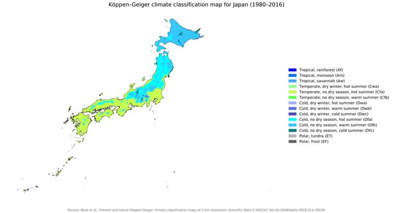
Description: Map of Japan's climates according to the Köppen-Geiger classification for the period 1980 to 2016.
License: CC BY 4.0
Author: Beck, H.E., Zimmermann, N. E., McVicar, T. R., Vergopolan, N., Berg, A., & Wood, E. F.
Source file: Wikipedia.org (view)
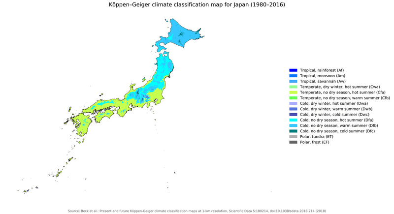
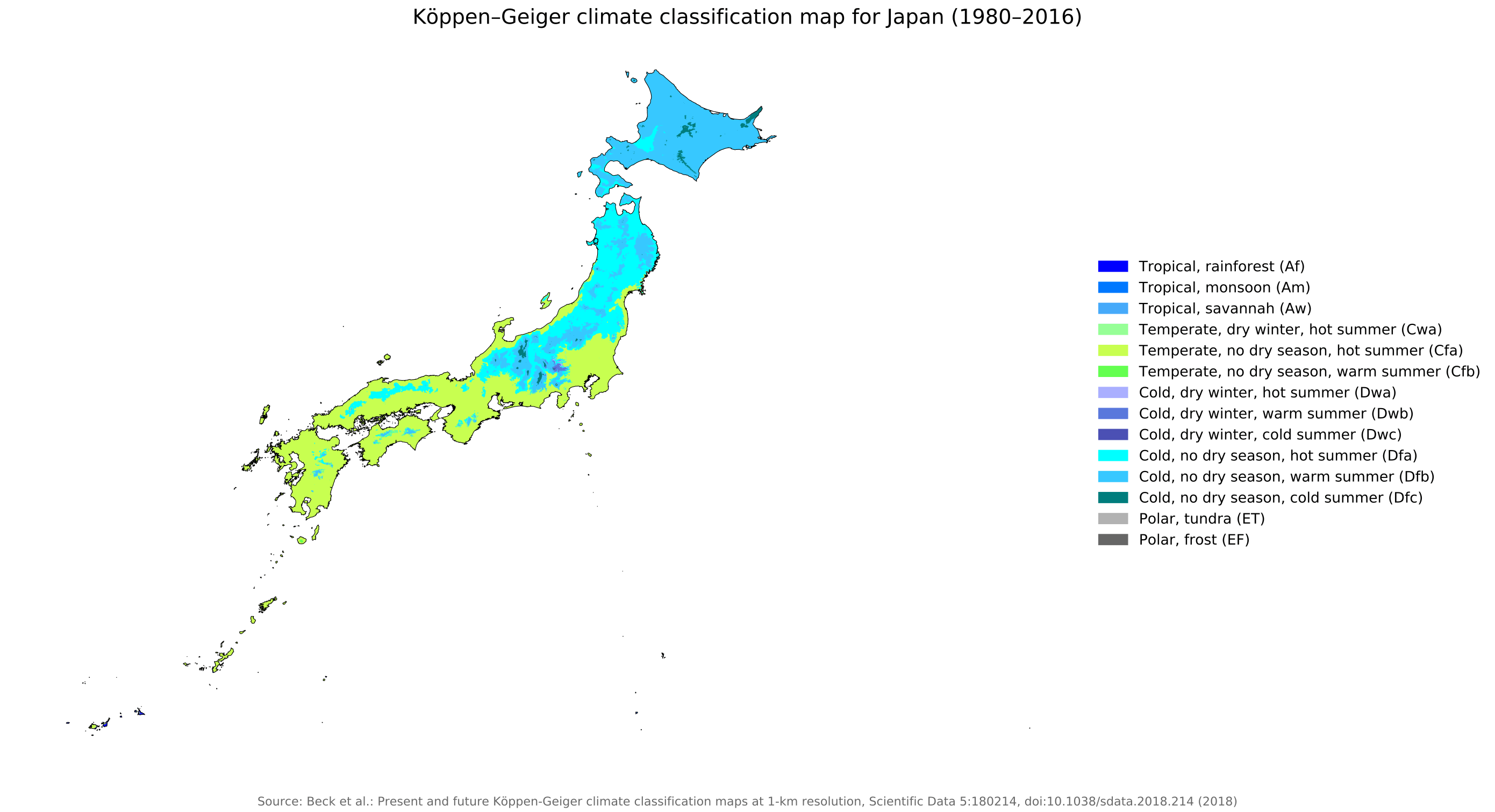
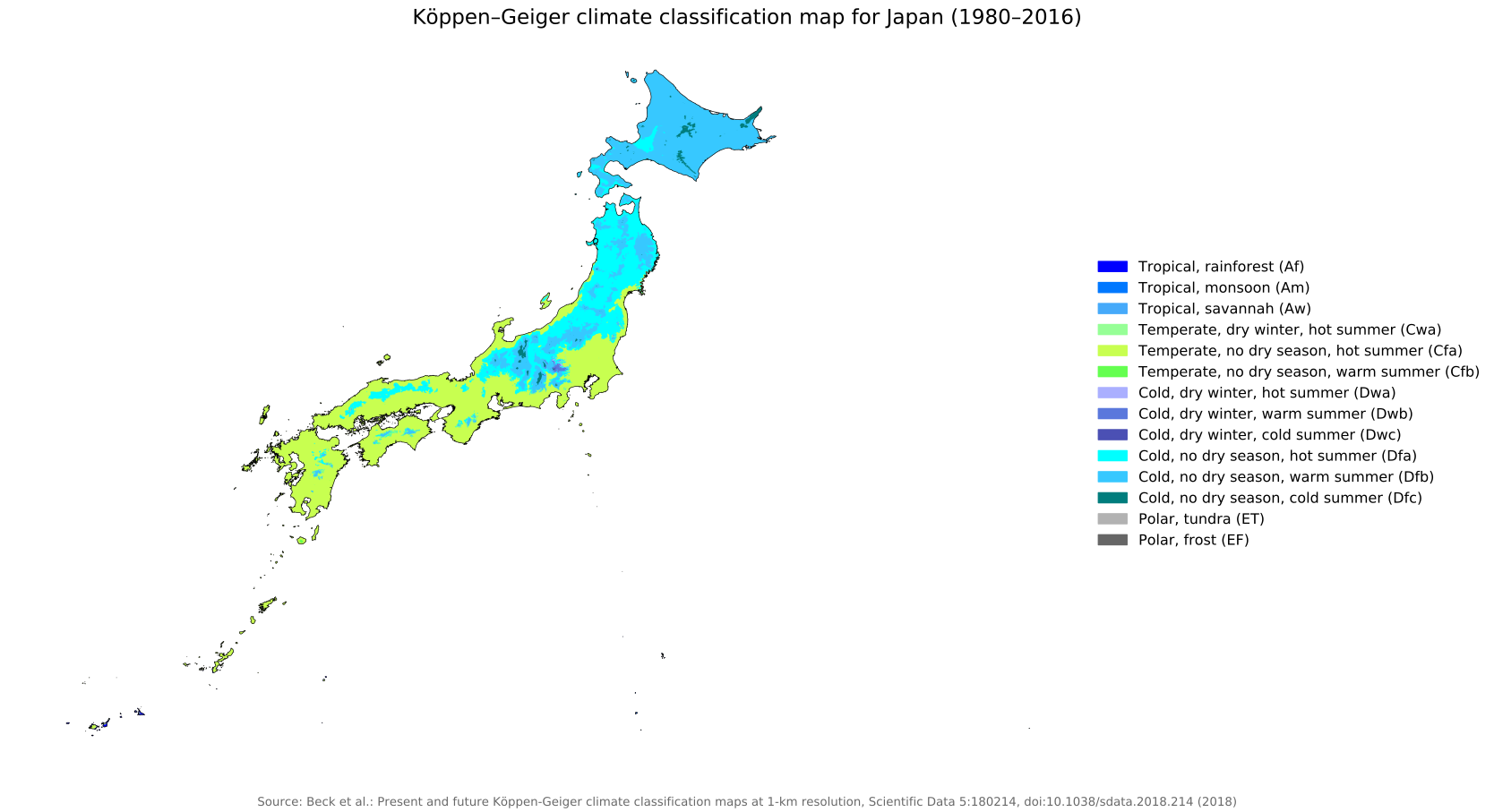
Description: Map of Japan's climates according to the Köppen-Geiger classification for the period 1980 to 2016.
License: CC BY 4.0
Author: Beck, H.E., Zimmermann, N. E., McVicar, T. R., Vergopolan, N., Berg, A., & Wood, E. F.
Source file: Wikipedia.org (view)

Detailed map of Japan
Download: JPG (689 x 800 pixels) | JPG (1723 x 2000 pixels) | JPG (4260 x 4945 pixels) | PNG (689 x 800 pixels) | PNG (1723 x 2000 pixels) | PNG (4260 x 4945 pixels) | PDF
Description: Large detailed map of Japan with cities, towns, major and minor roads, islands and lakes.
License: Open data (ODbl)
Author: OpenStreetMap and contributors
Source file: OpenStreetMap
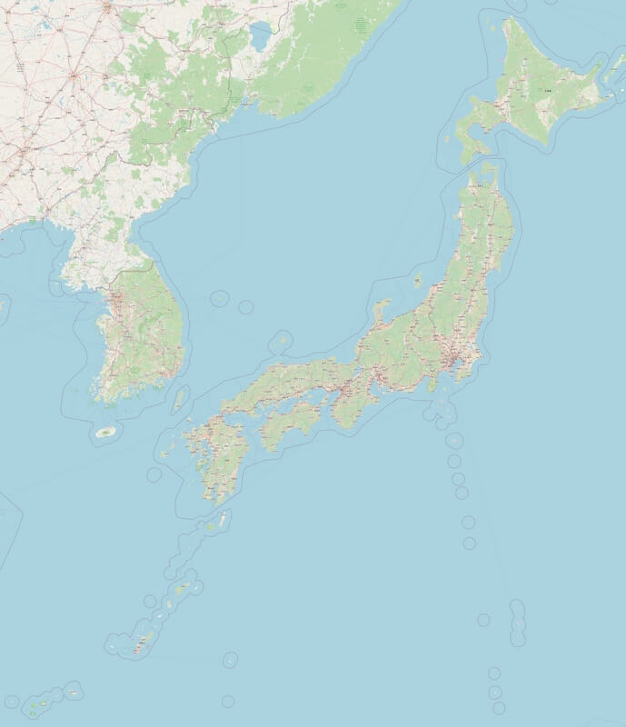
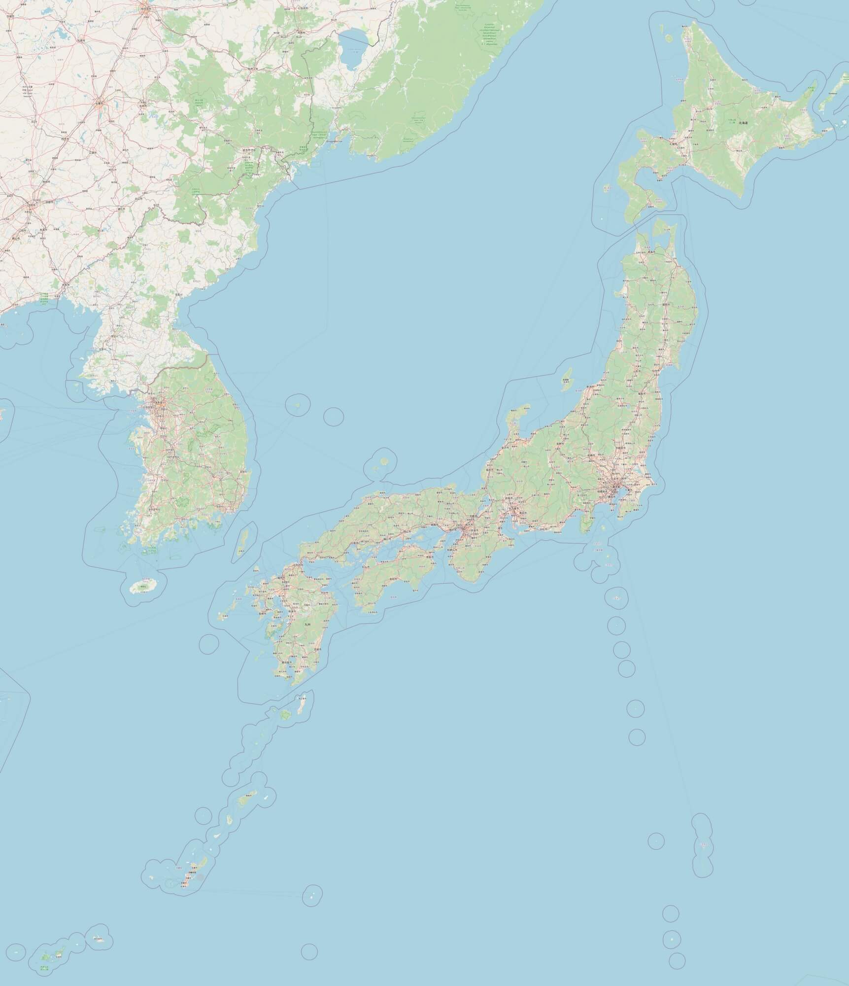
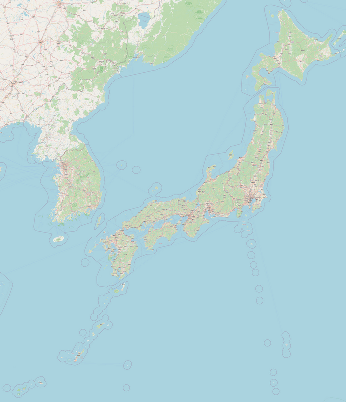
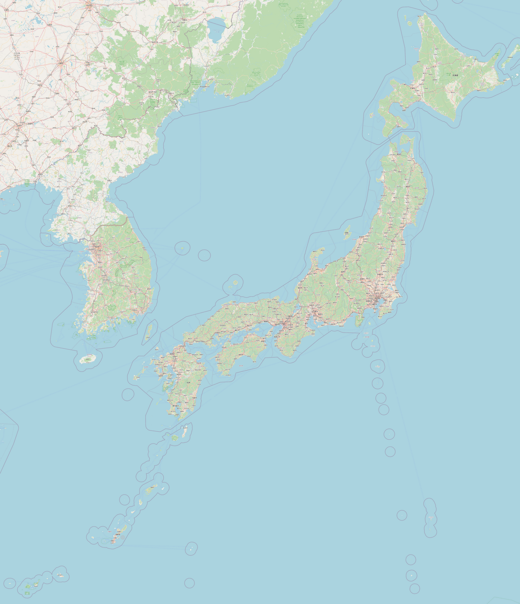
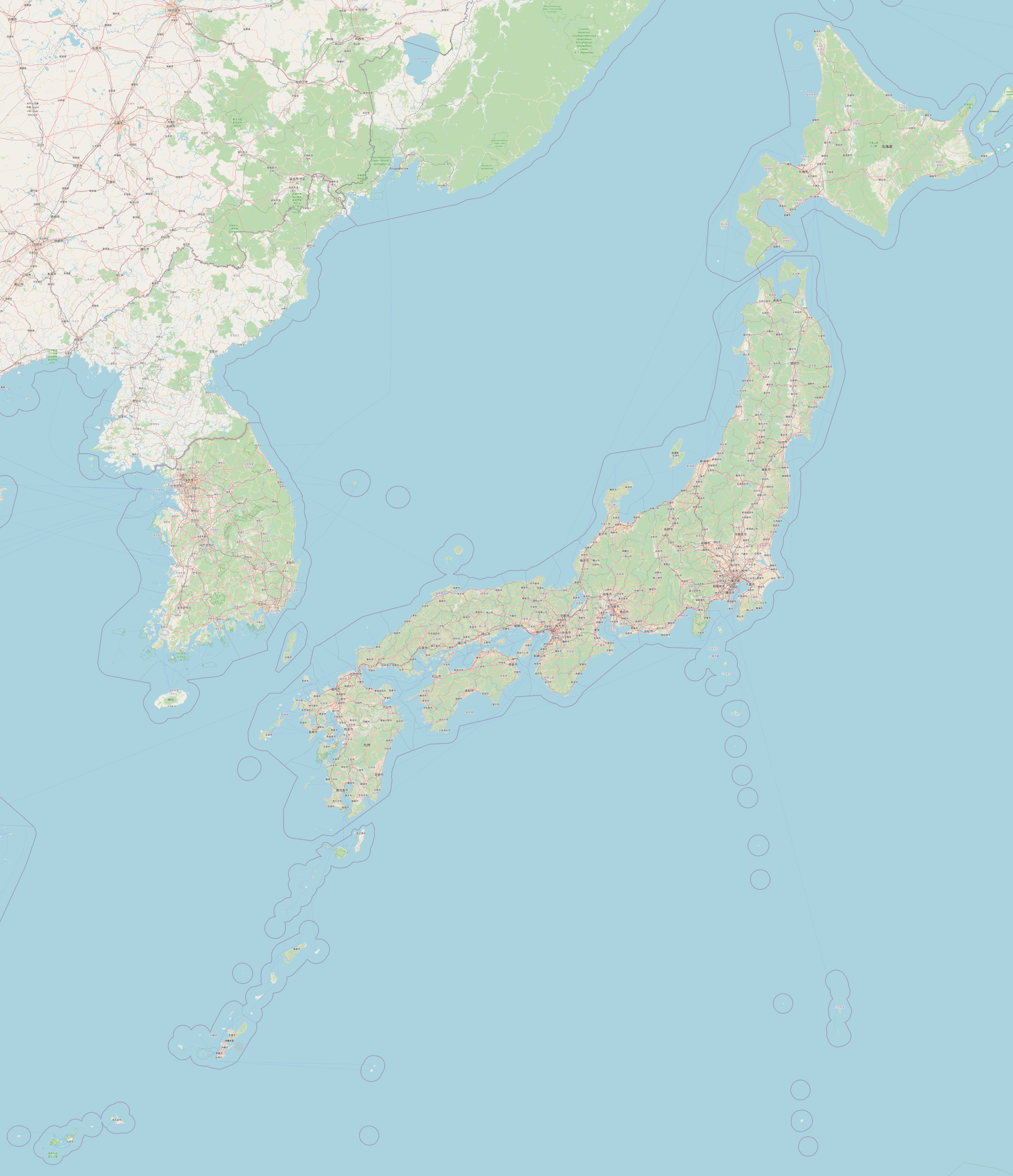
Description: Large detailed map of Japan with cities, towns, major and minor roads, islands and lakes.
License: Open data (ODbl)
Author: OpenStreetMap and contributors
Source file: OpenStreetMap
Map of Japanese dialects
Download: JPG (800 x 752 pixels) | JPG (2070 x 1945 pixels) | PNG (800 x 752 pixels) | PNG (2070 x 1945 pixels)
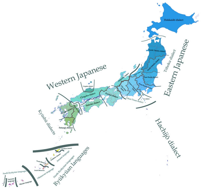
Description: Map of Japan with the different dialects spoken in the country.
License: CC BY-SA 3.0
Author: OEnirac Sum, translated by Zakuragi(en); ShiminUfesoj (bcl).
Source file: Wikipedia.org (view)
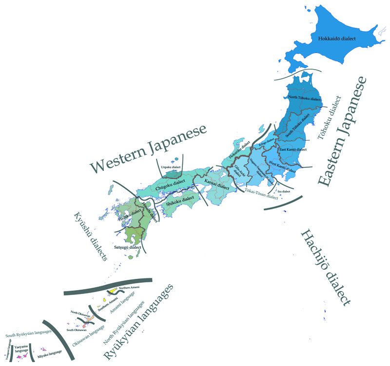
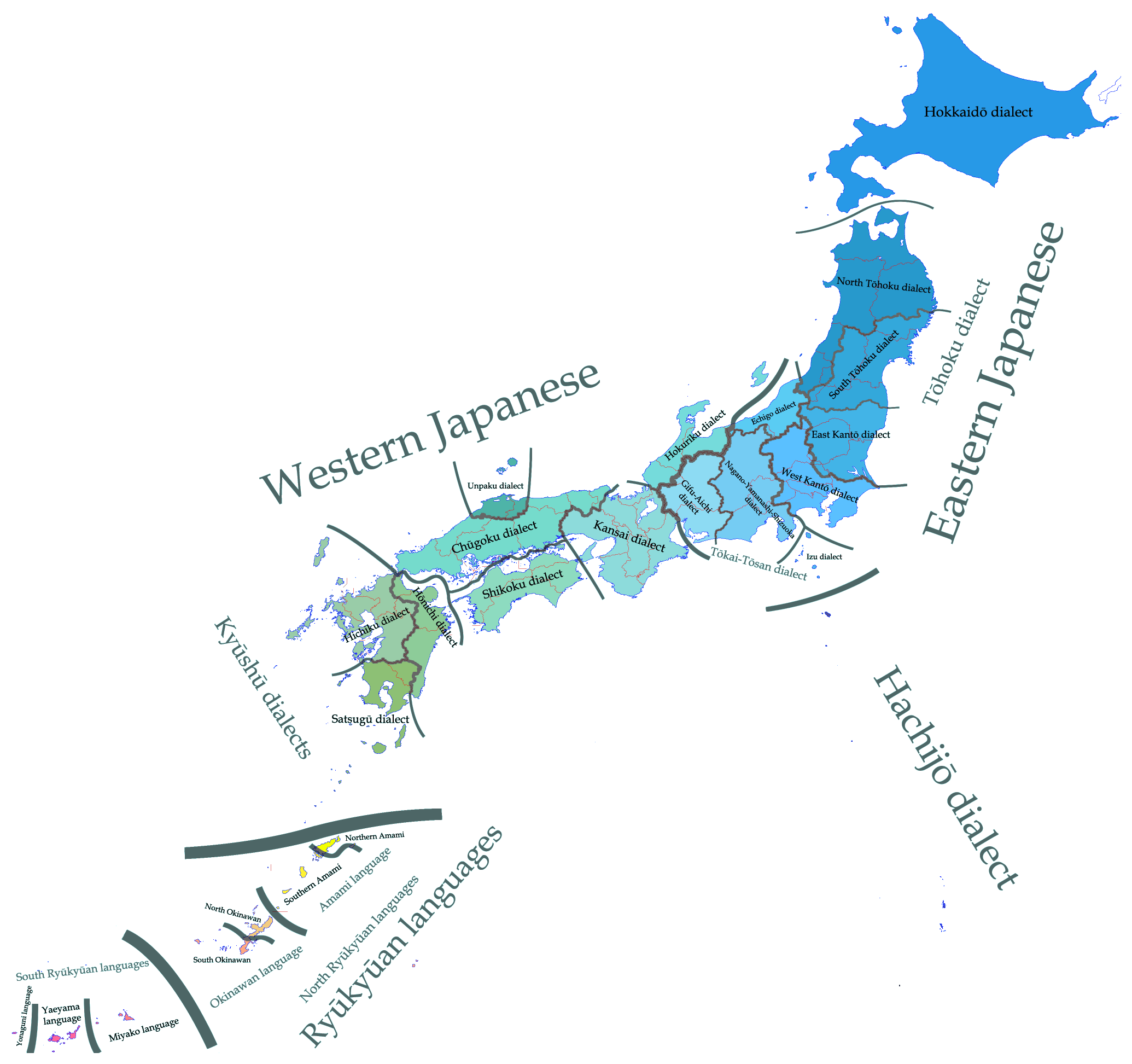
Description: Map of Japan with the different dialects spoken in the country.
License: CC BY-SA 3.0
Author: OEnirac Sum, translated by Zakuragi(en); ShiminUfesoj (bcl).
Source file: Wikipedia.org (view)
