WorldmapPDF
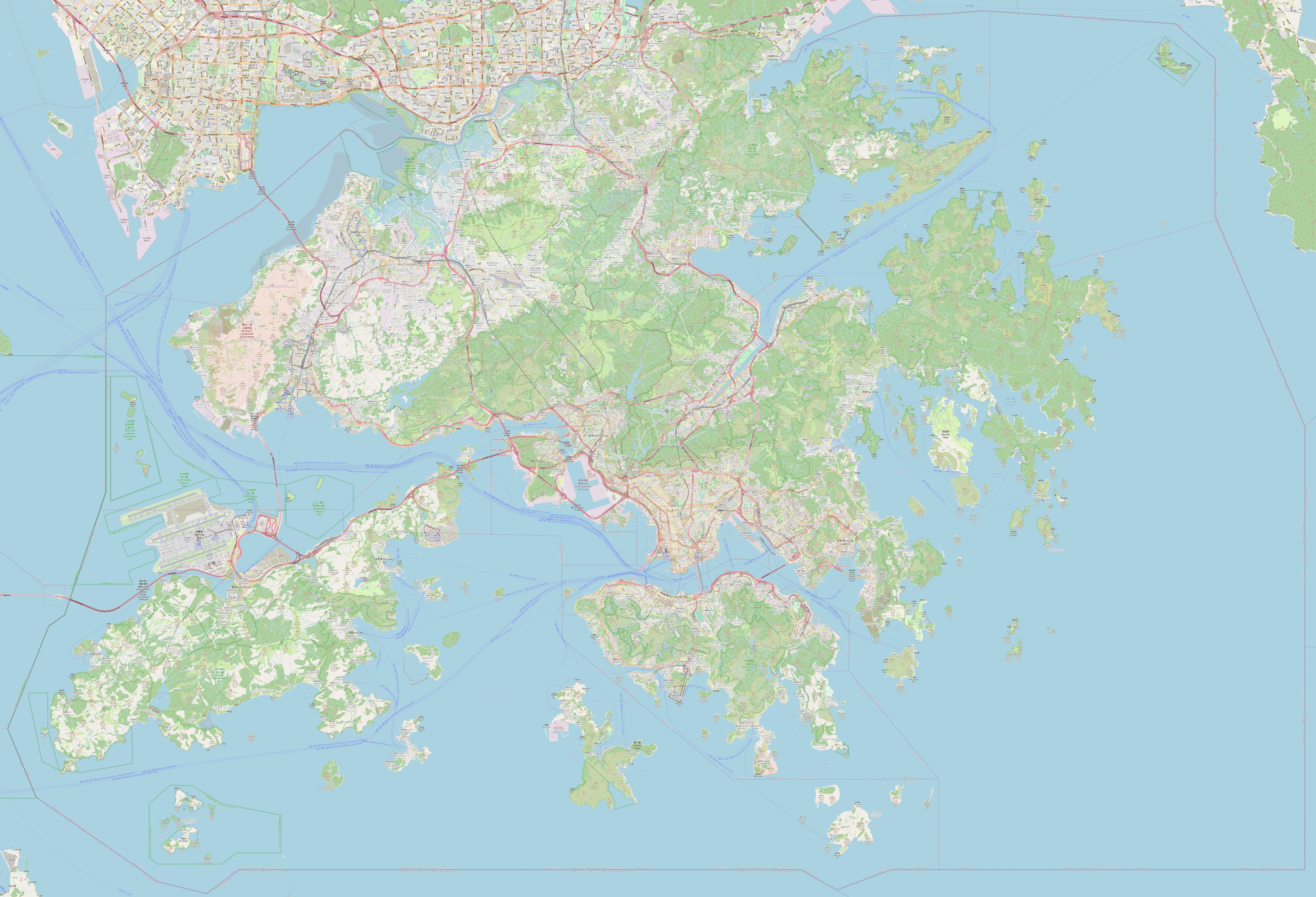
Large detailed map of Hong Kong
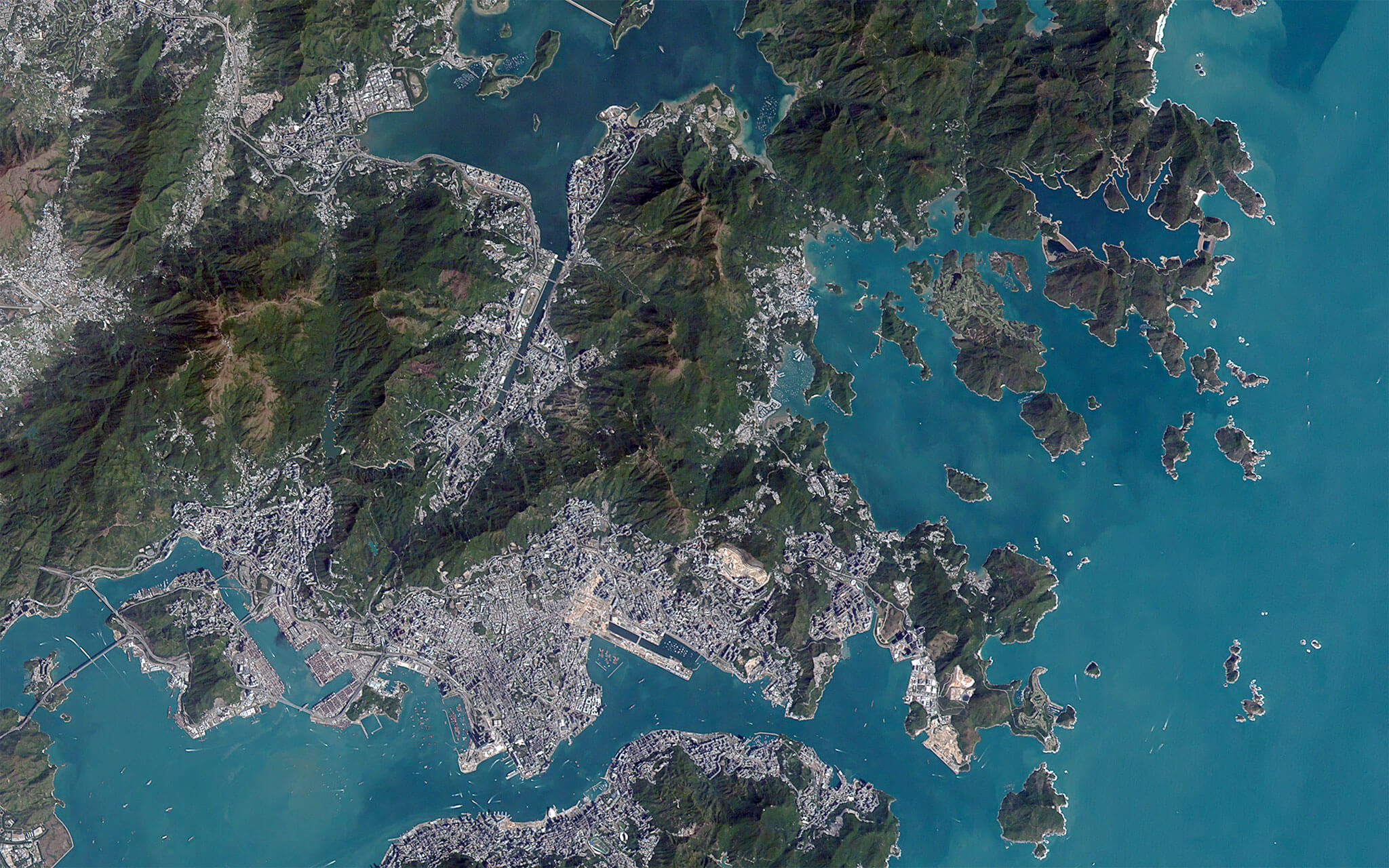
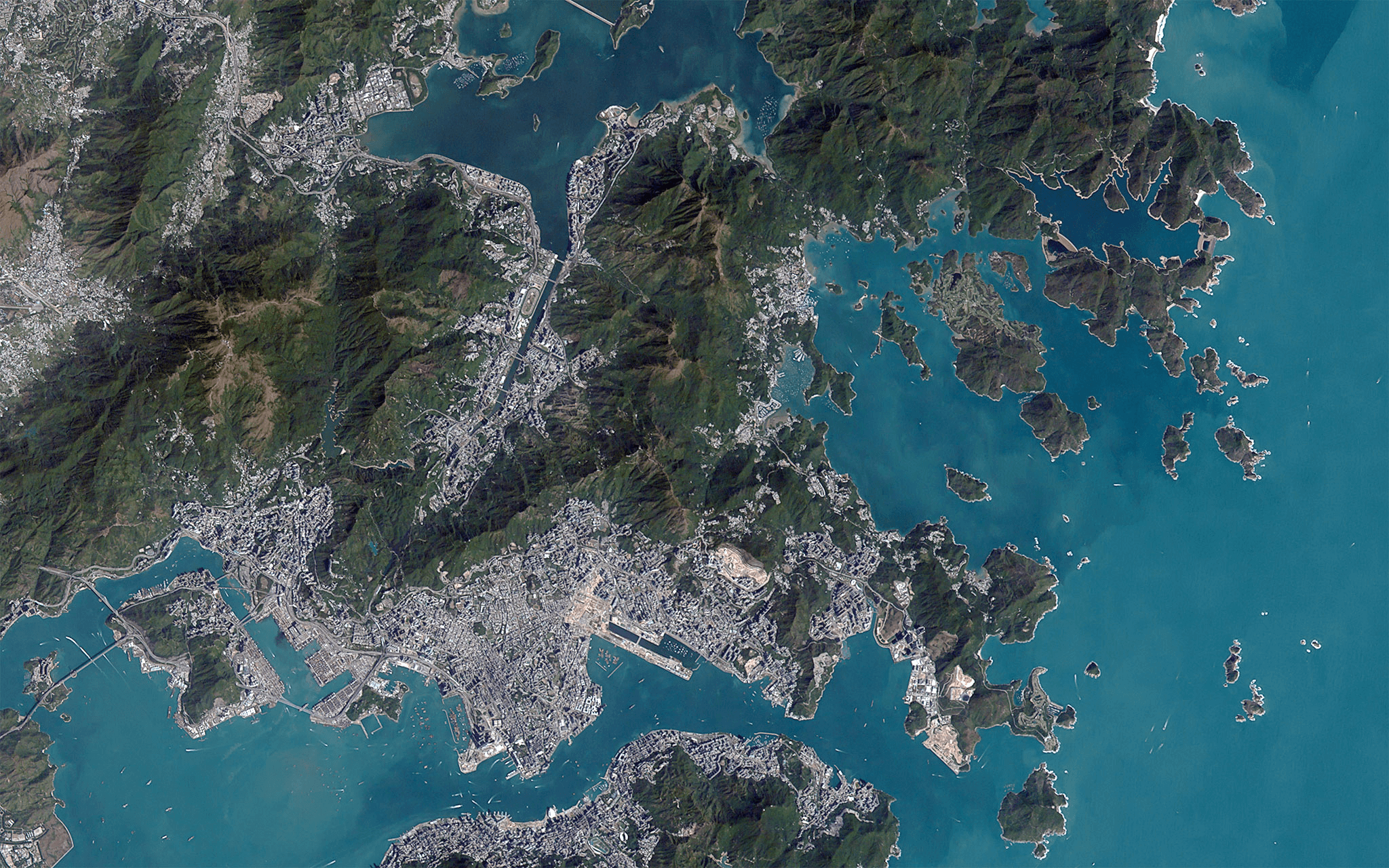
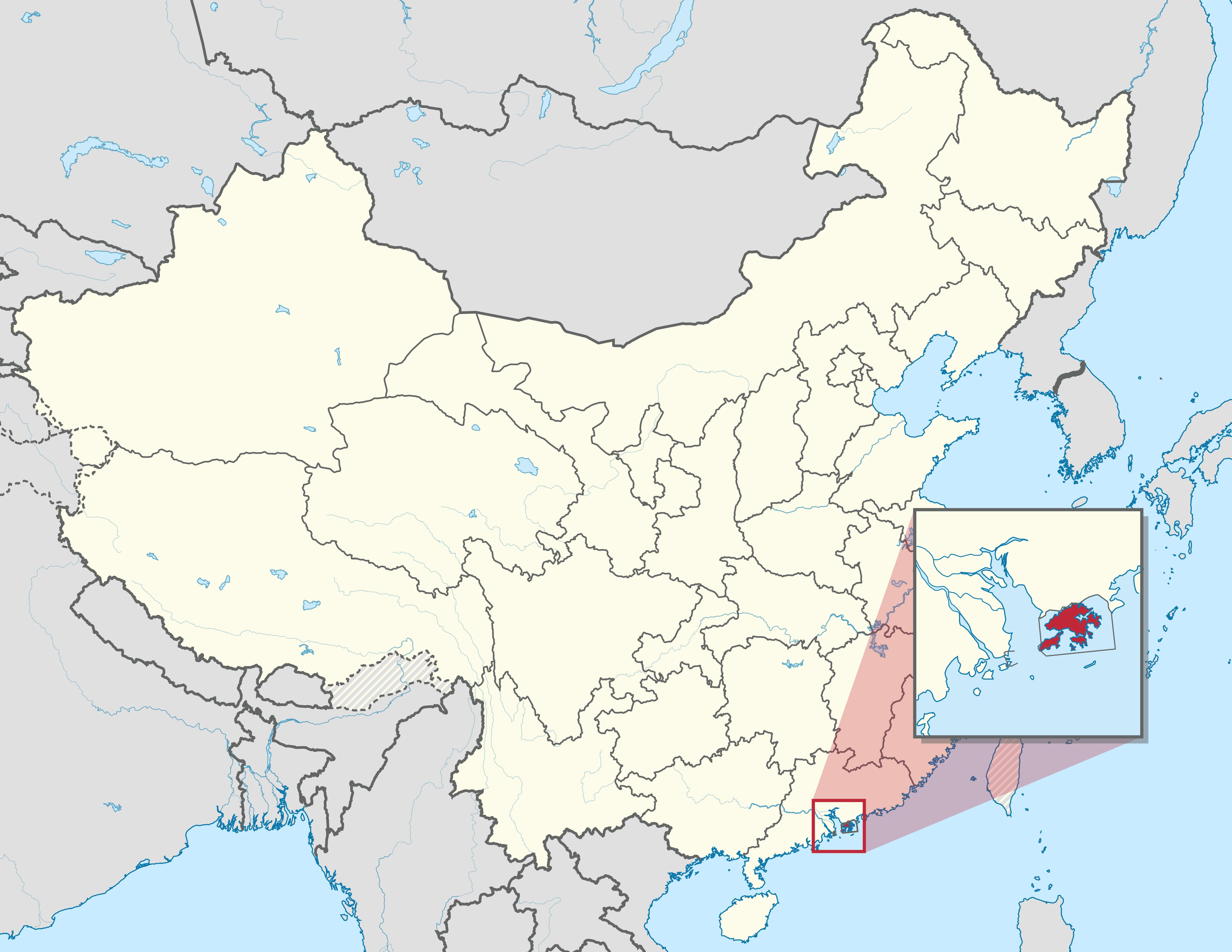
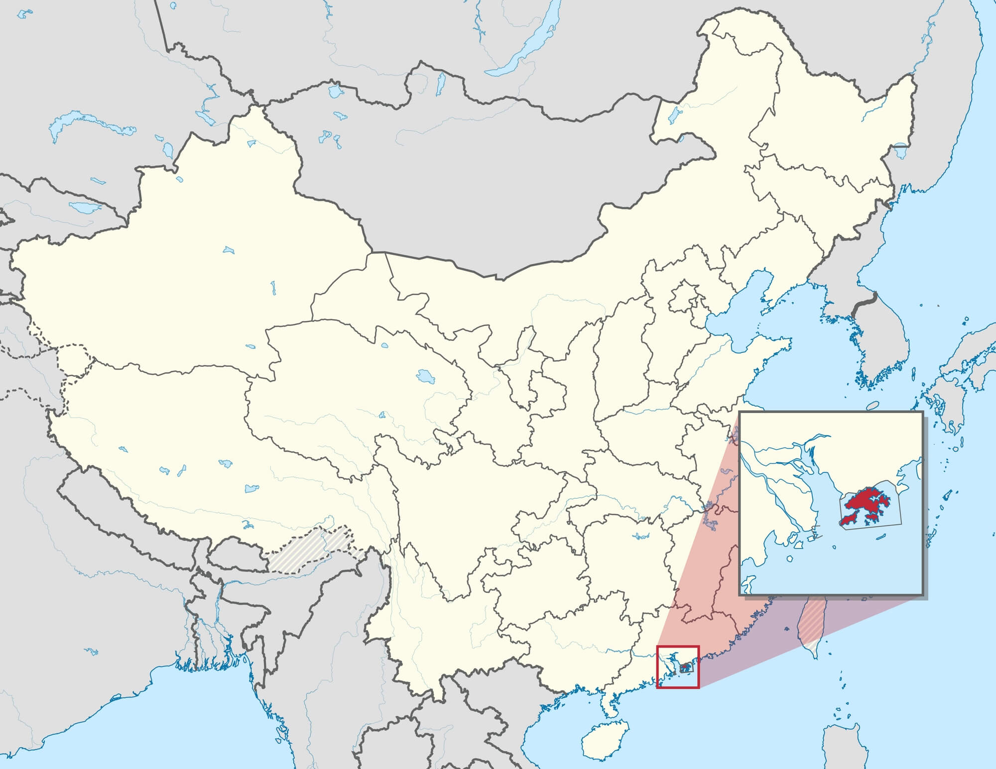
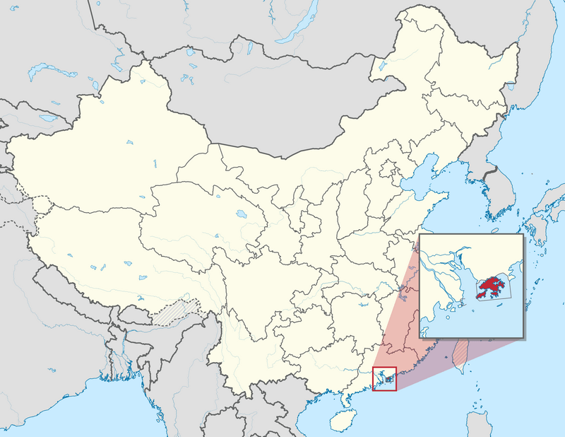
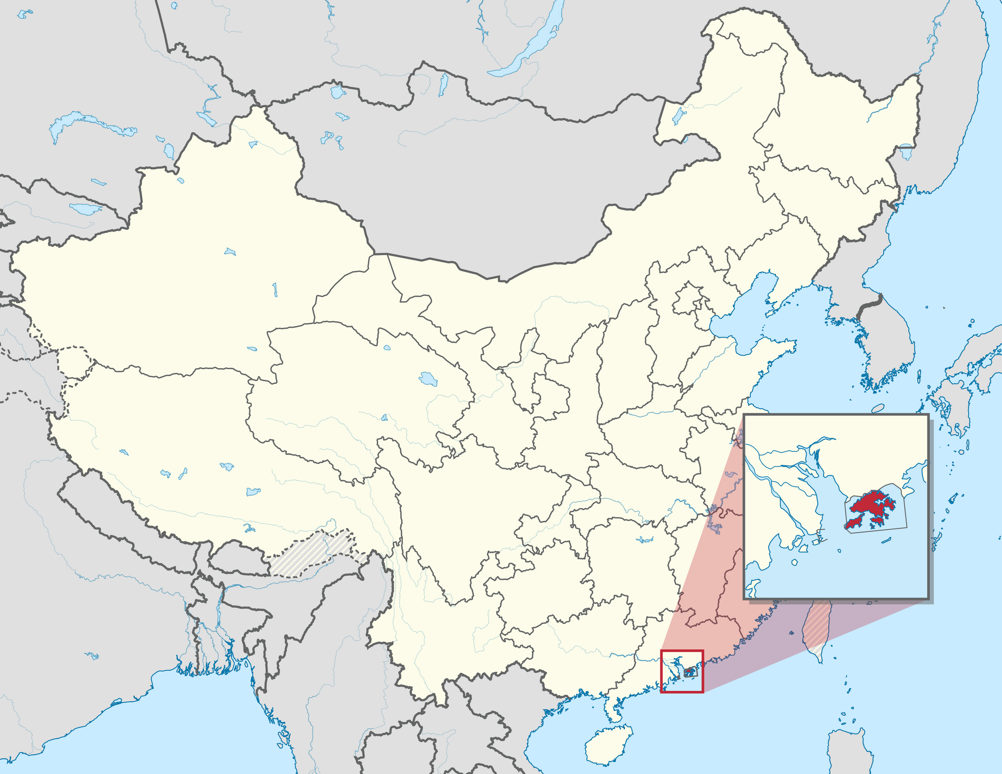
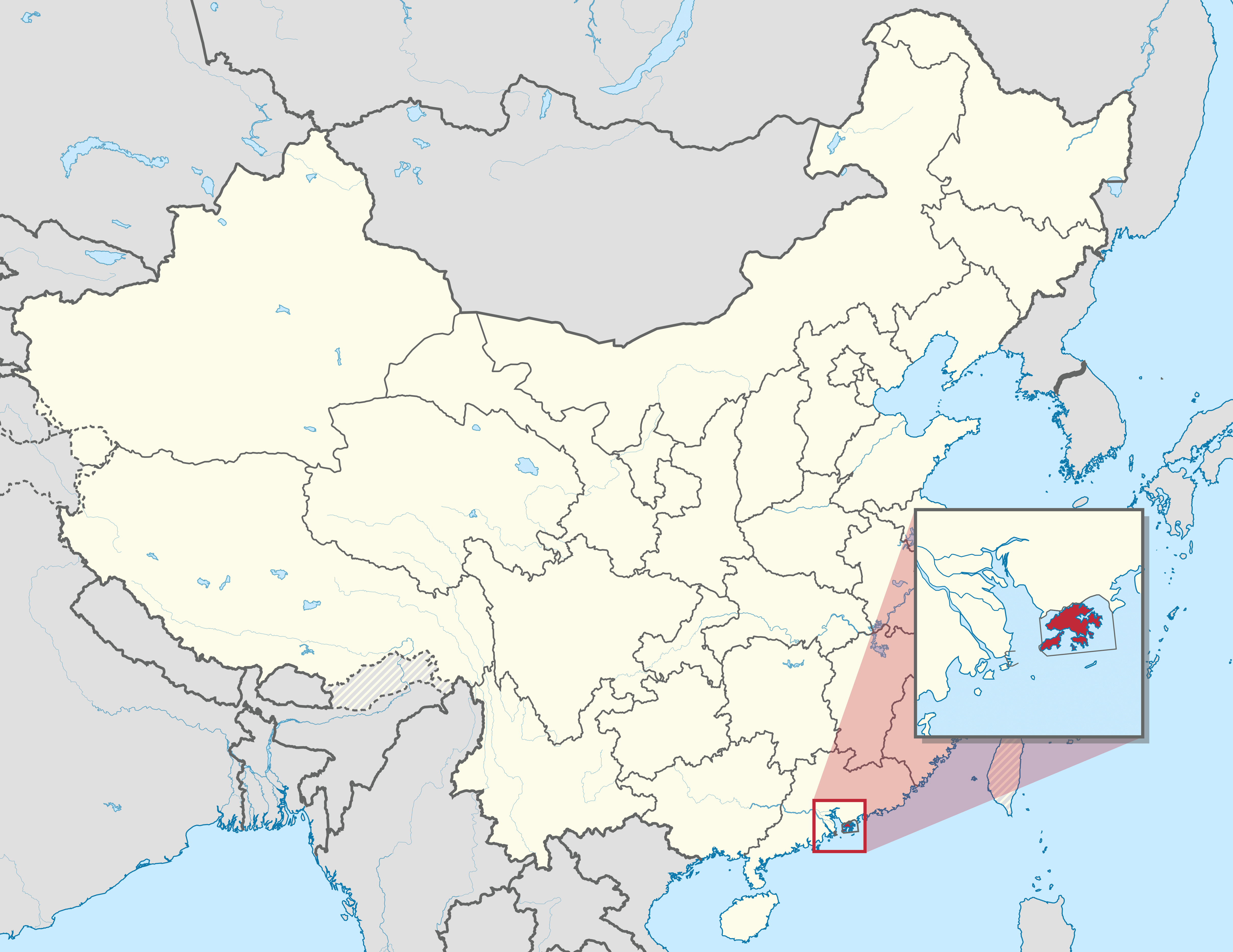
Download free maps of Hong Kong in PDF, PNG, JPG and SVG. The large detailed map of Hong Kong is a city map with major roads, streets, parks and green areas, the airport at Chek Lap Kok, the districts of Hong Kong Island, Kowloon and the New Territories, Lantau Island and the outlying islands, with the main points of interest. With a size of 7250 x 4945 pixels it can be printed as a large city map or used to find a street. The location map shows Hong Kong on the southern coast of China, next to Shenzhen and Macau, on the Pearl River estuary. The satellite photo of Hong Kong, taken by the Hodoyoshi-1 satellite, shows Victoria Harbour, the urban areas and the hills of the territory. Hong Kong is a special administrative region of China. See also the maps of China and Asia.
Detailed map of Hong Kong with streets
Download: JPG (800 x 546 pixels) | JPG (2500 x 1705 pixels) | JPG (7250 x 4945 pixels) | PNG (800 x 546 pixels) | PNG (2500 x 1705 pixels) | PNG (7250 x 4945 pixels) | PDF
Description: Large detailed map of Hong Kong with major roads, streets, parks, green areas, airport, districts and highlights.
License: Open data (ODbl)
Author: OpenStreetMap and contributors
Source file: OpenStreetMap
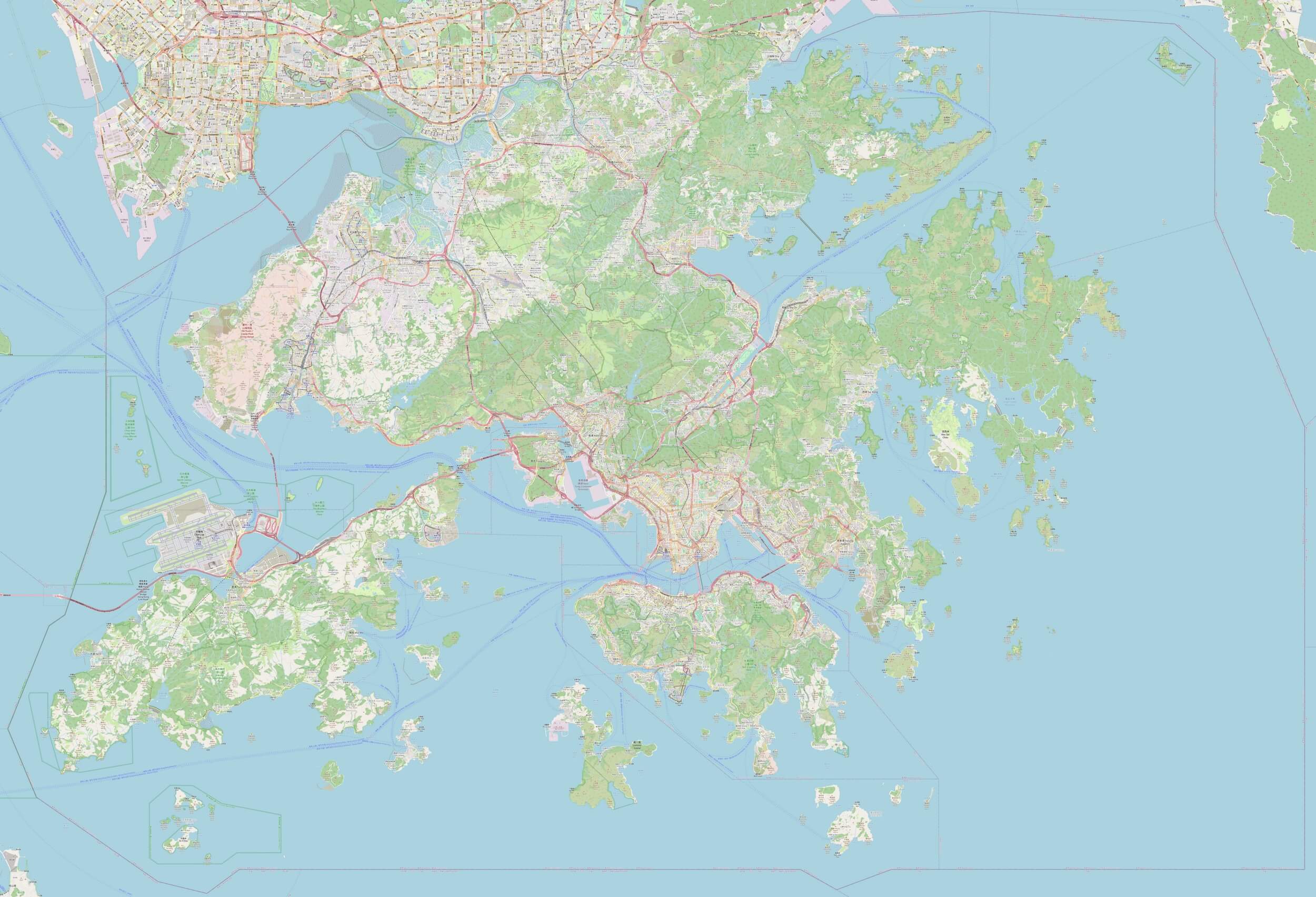
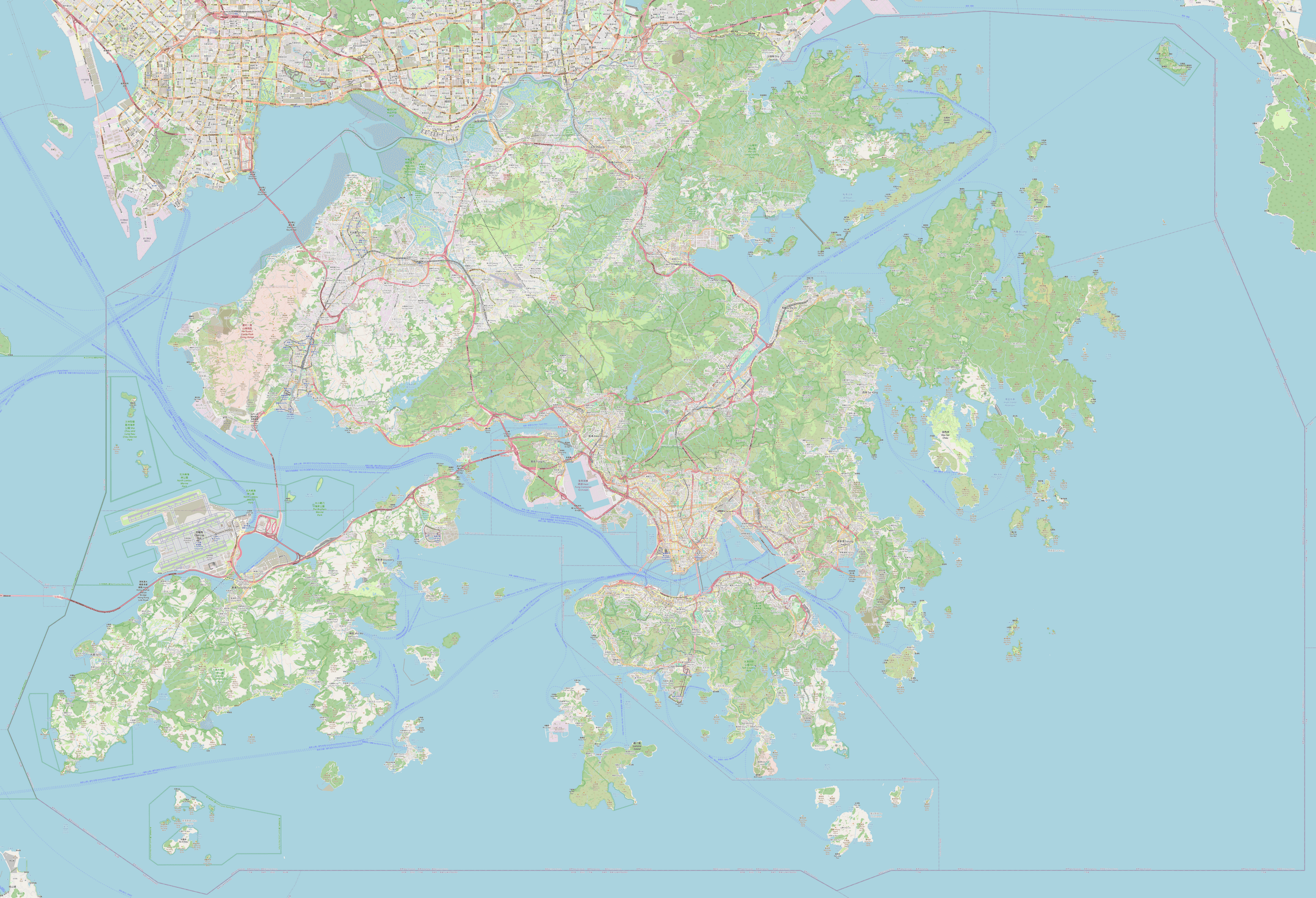
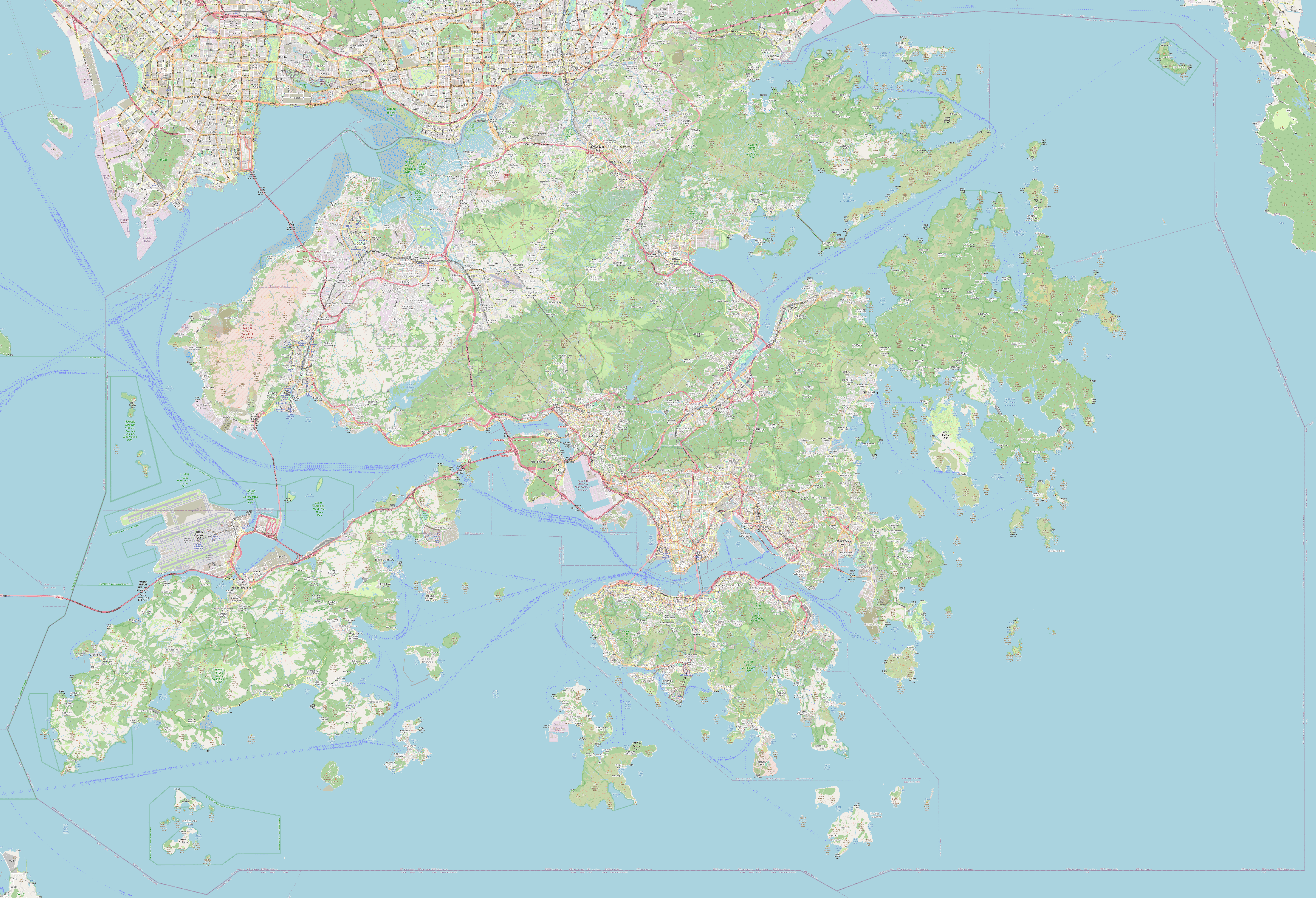
Description: Large detailed map of Hong Kong with major roads, streets, parks, green areas, airport, districts and highlights.
License: Open data (ODbl)
Author: OpenStreetMap and contributors
Source file: OpenStreetMap
Hong Kong location map
Download: JPG (800 x 618 pixels) | JPG (2000 x 1545 pixels) | JPG (4830 x 3730 pixels) | PNG (800 x 618 pixels) | PNG (2000 x 1545 pixels) | PNG (4830 x 3730 pixels) | PDF | SVG
Description: Map of Hong Kong with location in southern China.
License: CC BY-SA 3.0
Author: TUBS
Source file: Wikipedia.org (view)
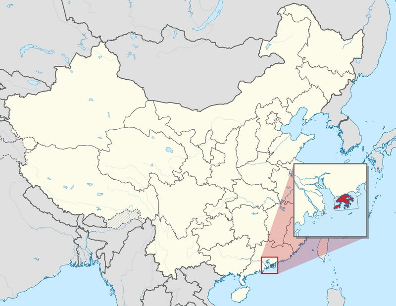
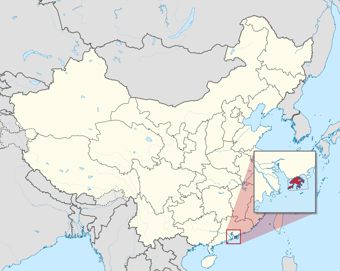
Description: Map of Hong Kong with location in southern China.
License: CC BY-SA 3.0
Author: TUBS
Source file: Wikipedia.org (view)

Satellite photo of Hong Kong